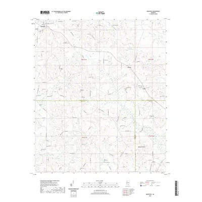
2020 Map of Bassfield
USGS Topo · Published 2020About this map
Bassfield anchors the northwest corner of this Jefferson Davis County landscape, where rural life is defined by a dense network of family cemeteries and winding creek bottoms. Numerous burial grounds, including the Stewart-Thompson Cem, McLeod Cem, and Magee-Sullivan Cem, indicate long-standing family settlements scattered throughout the Piney Woods. The terrain is structured by the southward flow of Black Cr and Upper Little Creek, with smaller settlements like Morris and Melba serving as crossroads for the local community.
Find a feature on this map
98 named features on this map. Tap any name to fly to it.
Don’t see what you’re looking for? This feature index may not catch every label — zoom into the map to look around manually.
Map Details
Editions of this 2020 Bassfield Map
This is the sole edition of this map. No revisions or reprints were ever made.
Other maps of this area

1953 · Hattiesburg
USGS Topo · 1:250,000

1958 · Hattiesburg
USGS Topo · 1:250,000

1970 · Bunker Hill
USGS Topo · 1:24,000

1970 · Columbia North
USGS Topo · 1:24,000

1970 · Prentiss East
USGS Topo · 1:24,000

1974 · Sumrall
USGS Topo · 1:24,000

1974 · Oloh
USGS Topo · 1:24,000

1974 · Williamsburg
USGS Topo · 1:24,000

1974 · Bassfield
USGS Topo · 1:24,000

1974 · Lake Mike Connor
USGS Topo · 1:24,000