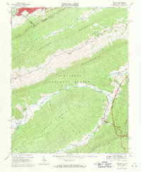
1968 Map of Bastian
USGS Topo · Published 1971About this map
The southern outskirts of Bluefield and the wooded ridges of the Jefferson National Forest define this late 1960s landscape along the border of Virginia and West Virginia. The terrain is dominated by a series of parallel ridges including Beaver Pond Mountain, Buckhorn Mountain, and Brushy Mountain. In the valleys between these heights, small communities and rural centers like Bastian, Hicksville, and Grapefield are connected by roads following the watercourses of Wolf Creek and Clear Fork.
Find a feature on this map
38 named features on this map. Tap any name to fly to it.
Don’t see what you’re looking for? This feature index may not catch every label — zoom into the map to look around manually.
Map Details
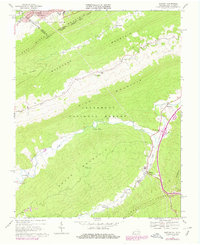
Editions of this 1968 Bastian Map
2 editions found
Other maps of this area

1887 · Pocahontas
USGS Topo · 1:125,000

1891 · Pocahontas
USGS Topo · 1:125,000

1894 · Pocahontas
USGS Topo · 1:125,000

1895 · Pocahontas
USGS Topo · 1:125,000

1909 · Pocahontas Special
USGS Topo · 1:48,000

1911 · Pocahontas Special
USGS Topo · 1:62,500

1913 · Bluefield
USGS Topo · 1:48,000

1916 · Bluefield
USGS Topo · 1:62,500

1924 · Bramwell
USGS Topo · 1:62,500

1924 · Bluefield
USGS Topo · 1:62,500