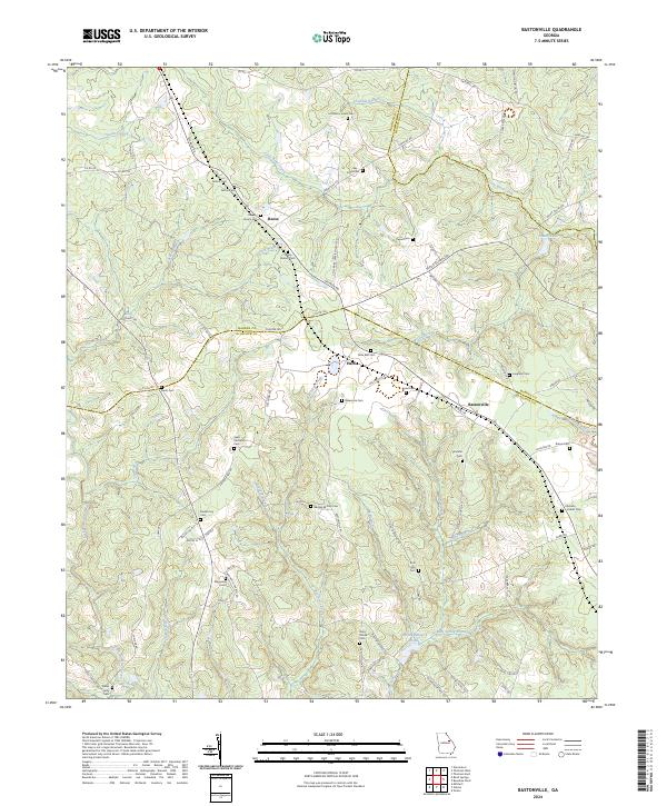
2024 Map of Bastonville
USGS Topo · Published 2024About this map
Bastonville and the surrounding rural landscape of Glascock County are defined by a complex network of family cemeteries and small creek systems. This modern topographic record reveals a persistent agricultural and residential pattern where lineage is physically marked on the land. Numerous private and community burial grounds, such as Seals-Kitchens Cem, Ivey-Jones Cem, and George W Usry Cem, are scattered across the terrain, serving as vital landmarks for genealogists and local historians.
Find a feature on this map
92 named features on this map. Tap any name to fly to it.
Don’t see what you’re looking for? This feature index may not catch every label — zoom into the map to look around manually.
Map Details
Editions of this 2024 Bastonville Map
This is the sole edition of this map. No revisions or reprints were ever made.
Other maps of this area

1920 · Stapleton
USGS Topo · 1:62,500

1922 · Harlem
USGS Topo · 1:62,500

1948 · Harlem
USGS Topo · 1:62,500

1948 · Stapleton
USGS Topo · 1:62,500

1948 · Thomson East
USGS Topo · 1:24,000

1950 · Dearing
USGS Topo · 1:24,000

1950 · Wrens
USGS Topo · 1:24,000
1950 · Bowdens Pond
USGS Topo · 1:24,000

1953 · Athens
USGS Topo · 1:250,000

1958 · Athens
USGS Topo · 1:250,000