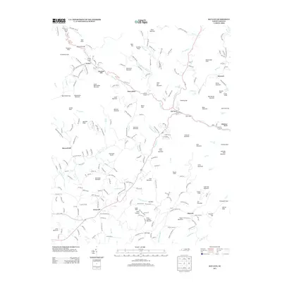
2013 Map of Bat Cave
USGS Topo · Published 2013About this map
Bat Cave and Gerton anchor this survey of the Blue Ridge landscape, where the Broad River carves its way through a series of steep gaps and high summits. This 2013 data illustrates the intricate network of mountain roads and family homesteads that define the region. Named peaks such as Bearwallow Mountain and Whiteside Mountain dominate the terrain, while numerous water features like Toms Falls, Bead and Lace Falls, and the iconic Hickorynut Falls highlight the verticality of the drainage basins.
Find a feature on this map
237 named features on this map. Tap any name to fly to it.
Don’t see what you’re looking for? This feature index may not catch every label — zoom into the map to look around manually.
Map Details
Editions of this 2013 Bat Cave Map
This is the sole edition of this map. No revisions or reprints were ever made.
Other maps of this area

1900 · Mount Mitchell
USGS Topo · 1:125,000

1902 · Mount Mitchell
USGS Topo · 1:125,000

1907 · Saluda
USGS Topo · 1:125,000

1935 · Batcave
USGS Topo · 1:24,000

1935 · Hendersonville
USGS Topo · 1:24,000

1935 · Black Mountain
USGS Topo · 1:24,000

1935 · Fishtop
USGS Topo · 1:24,000

1936 · Fruitland
USGS Topo · 1:24,000

1941 · Black Mountain
USGS Topo · 1:24,000

1942 · Fruitland
USGS Topo · 1:24,000