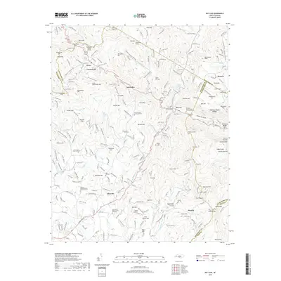
2019 Map of Bat Cave
USGS Topo · Published 2019About this map
Gerton and the surrounding high-elevation settlements in the Blue Ridge mountains define this landscape at the intersection of Henderson, Buncombe, and Rutherford counties. The terrain is marked by prominent peaks such as Bearwallow Mtn, Little Pisgah Mtn, and the distinctive Chimney Rock Mtn overlooking Lake Lure. A high density of rural cemeteries, including the Barnwell Family Cem and Connor Cem, points to deep-rooted ancestral ties across the gaps and ridges.
Find a feature on this map
213 named features on this map. Tap any name to fly to it.
Don’t see what you’re looking for? This feature index may not catch every label — zoom into the map to look around manually.
Map Details
Editions of this 2019 Bat Cave Map
This is the sole edition of this map. No revisions or reprints were ever made.
Other maps of this area

1900 · Mount Mitchell
USGS Topo · 1:125,000

1902 · Mount Mitchell
USGS Topo · 1:125,000

1907 · Saluda
USGS Topo · 1:125,000

1935 · Batcave
USGS Topo · 1:24,000

1935 · Hendersonville
USGS Topo · 1:24,000

1935 · Black Mountain
USGS Topo · 1:24,000

1935 · Fishtop
USGS Topo · 1:24,000

1936 · Fruitland
USGS Topo · 1:24,000

1941 · Black Mountain
USGS Topo · 1:24,000

1942 · Fruitland
USGS Topo · 1:24,000