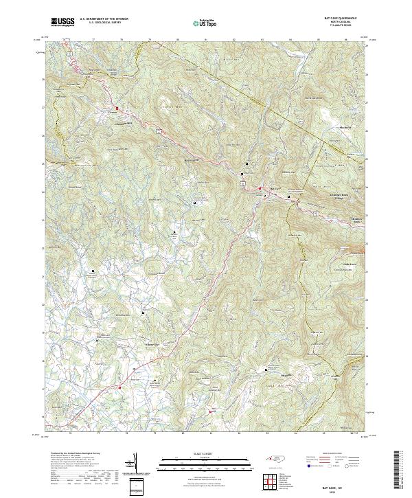
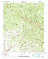
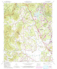
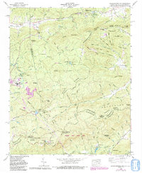
2022 Map of Bat Cave
USGS Topo · Published 2022About this map
The Broad River carves its way through the dramatic landscape of the Hickory Nut Gorge, a region defined by steep elevation changes and dense mountain topography. This modern survey illustrates the proximity of Bat Cave to Chimney Rock Village, where the terrain rises sharply from the river banks to prominent peaks like Bearwallow Mtn and Shumont. The map detail reveals a high density of rural cemeteries and churches, such as the Barnwell Baptist Church Graveyard and the Episcopal Church of the Transfiguration Cem, reflecting a long-established mountain community culture.
Find a feature on this map
104 named features on this map. Tap any name to fly to it.
Don’t see what you’re looking for? This feature index may not catch every label — zoom into the map to look around manually.
Map Details
Editions of this 2022 Bat Cave Map
This is the sole edition of this map. No revisions or reprints were ever made.
Historical Maps of Ottanola Through Time
21 maps found

1935 Batcave
Henderson County, NC

1935 Standingstone Mtn.
Henderson County, NC

1935 Zirconia
Henderson County, NC
1936 Skyland
Henderson County, NC
1942 Skyland
Henderson County, NC
1943 Skyland
Henderson County, NC
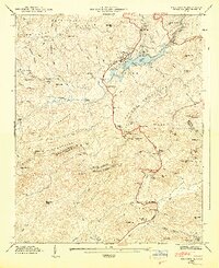
1946 Bat Cave
Henderson County, NC
1946 Standingstone Mtn.
Henderson County, NC
1946 Zirconia
Henderson County, NC
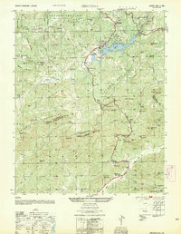
1947 Bat Cave
Henderson County, NC
1947 Zirconia
Henderson County, NC
1954 Zirconia
Henderson County, NC
1959 Zirconia
Henderson County, NC
1965 Skyland
Henderson County, NC
1965 Standingstone Mtn.
Henderson County, NC
1977 Zirconia
Henderson County, NC
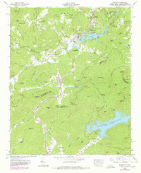
1997 Bat Cave
Henderson County, NC
1997 Zirconia
Henderson County, NC
2022 Bat Cave
Henderson County, NC
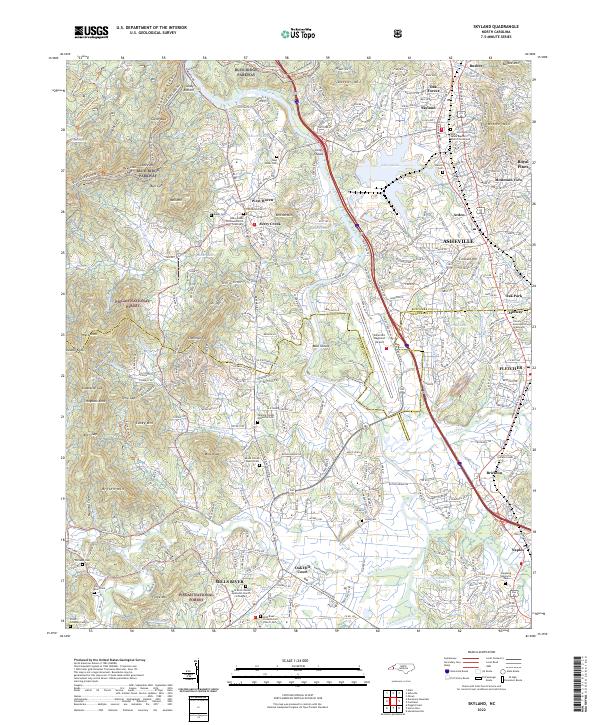
2022 Skyland
Henderson County, NC
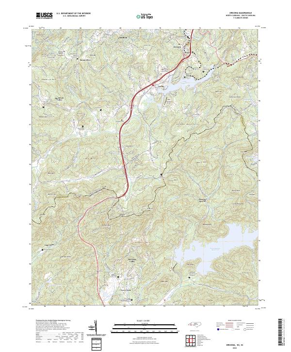
2022 Zirconia
Henderson County, NC