
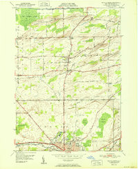
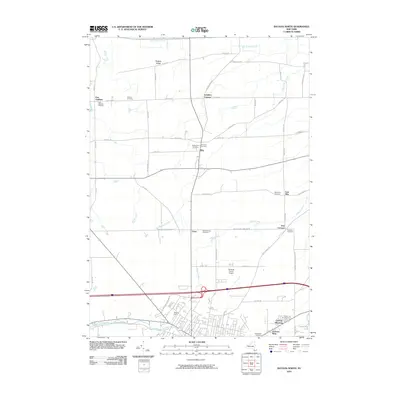
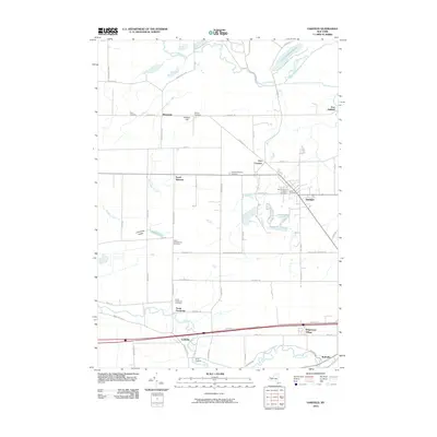
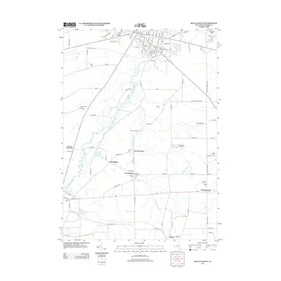
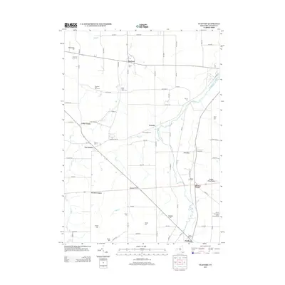
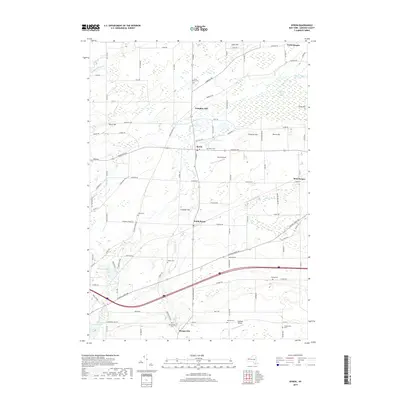
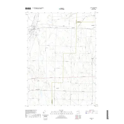
2023 Map of Batavia North
USGS Topo · Published 2023About this map
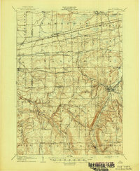
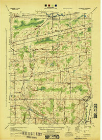
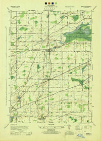
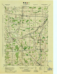
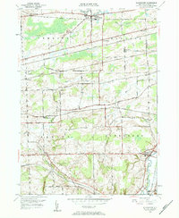
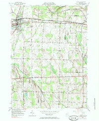
Tonawanda Creek winds through the southern reaches of this landscape, defining the northern edge of the city of Batavia. The terrain to the north transitions into a complex system of wetlands and low ridges, dominated by the expansive Oak Orchard Swamp and Galloway Swamp. This area is characterized by a high concentration of small family and community burial grounds, including Maple Lawn Cem, Pine Hill Cem, and Newkirk Cem, which reflect the long-standing agricultural settlement patterns of the region.
Find a feature on this map
107 named features on this map. Tap any name to fly to it.
Don’t see what you’re looking for? This feature index may not catch every label — zoom into the map to look around manually.
Map Details
Editions of this 2023 Batavia North Map
This is the sole edition of this map. No revisions or reprints were ever made.
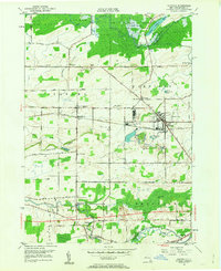
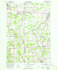
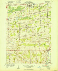
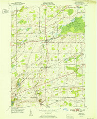
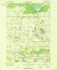
Historical Maps of Batavia Through Time
52 maps found
1905 Attica
Genesee County, NY
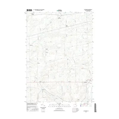
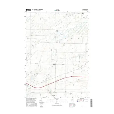
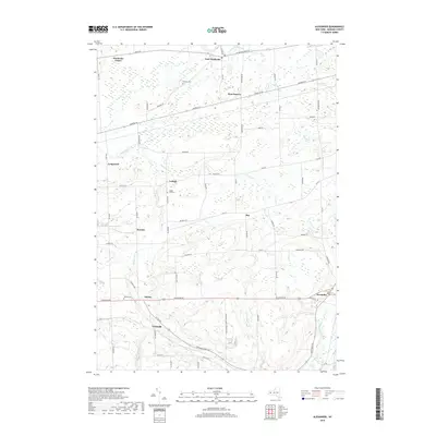
1944 Alexander
Genesee County, NY
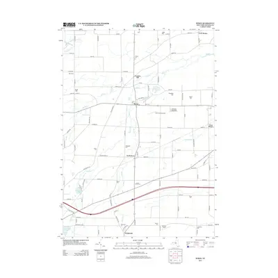
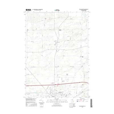
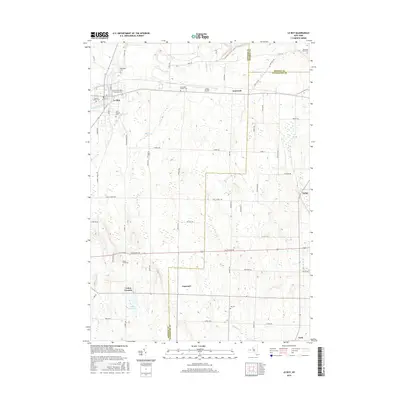
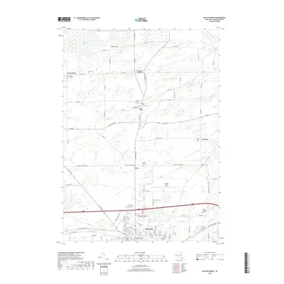
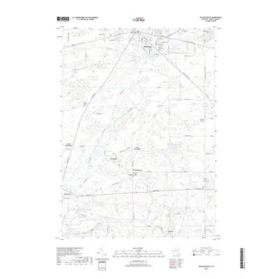
1944 Byron
Genesee County, NY

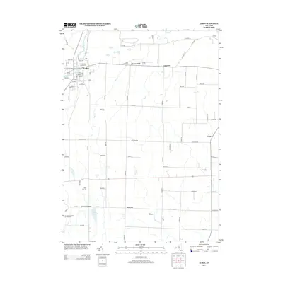
1944 Le Roy
Genesee County, NY
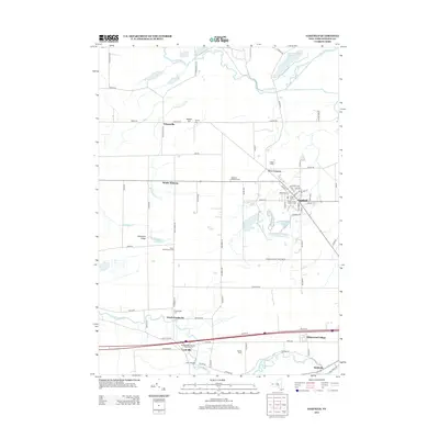
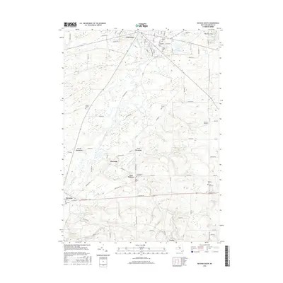
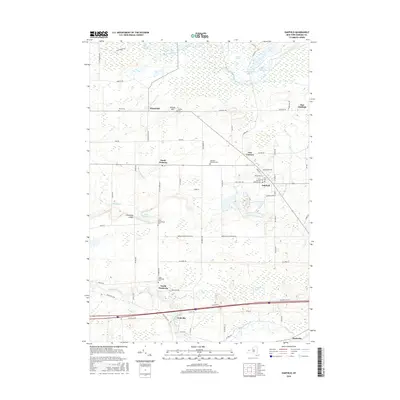
1944 Stafford
Genesee County, NY
1949 Alexander
Genesee County, NY

1949 Attica
Genesee County, NY
1950 Batavia North
Genesee County, NY
1950 Batavia South
Genesee County, NY
1950 Byron
Genesee County, NY
1950 Le Roy
Genesee County, NY
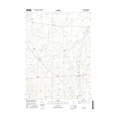
1950 Oakfield
Genesee County, NY
1950 Stafford
Genesee County, NY
1951 Alexander
Genesee County, NY
1951 Batavia North
Genesee County, NY
1952 Byron
Genesee County, NY
1952 Oakfield
Genesee County, NY
2010 Alexander
Genesee County, NY
2010 Batavia North
Genesee County, NY
2010 Batavia South
Genesee County, NY
2010 Byron
Genesee County, NY
2010 Le Roy
Genesee County, NY
2010 Oakfield
Genesee County, NY
2010 Stafford
Genesee County, NY
2013 Alexander
Genesee County, NY
2013 Batavia North
Genesee County, NY
2013 Batavia South
Genesee County, NY
2013 Byron
Genesee County, NY
2013 Le Roy
Genesee County, NY
2013 Oakfield
Genesee County, NY
2013 Stafford
Genesee County, NY
2016 Alexander
Genesee County, NY
2016 Batavia North
Genesee County, NY
2016 Batavia South
Genesee County, NY
2016 Byron
Genesee County, NY
2016 Le Roy
Genesee County, NY
2016 Oakfield
Genesee County, NY
2016 Stafford
Genesee County, NY
2019 Alexander
Genesee County, NY
2019 Batavia North
Genesee County, NY
2019 Batavia South
Genesee County, NY
2019 Byron
Genesee County, NY
2019 Le Roy
Genesee County, NY
2019 Oakfield
Genesee County, NY
2019 Stafford
Genesee County, NY

2023 Alexander
Genesee County, NY
2023 Batavia North
Genesee County, NY

2023 Batavia South
Genesee County, NY

2023 Byron
Genesee County, NY

2023 Le Roy
Genesee County, NY

2023 Oakfield
Genesee County, NY

2023 Stafford
Genesee County, NY