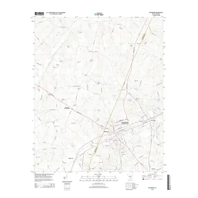
2014 Map of Batesburg
USGS Topo · Published 2014About this map
Batesburg-Leesville anchors the southeastern portion of this map, where the crossing of the Saluda and Lexington county line intersects a dense network of local roads and highways. The area's settlement history is clearly visible through a remarkable density of family-named burial grounds, including the Mitchell Cem, Etheredge Cem, and Wise Cem. These cemeteries are distributed across a landscape defined by the drainage basins of Clouds Creek and Lick Creek, providing critical data points for genealogists tracing local lineage in this part of the South Carolina Midlands.
Find a feature on this map
147 named features on this map. Tap any name to fly to it.
Don’t see what you’re looking for? This feature index may not catch every label — zoom into the map to look around manually.
Map Details
Editions of this 2014 Batesburg Map
This is the sole edition of this map. No revisions or reprints were ever made.
Other maps of this area

1904 · Columbia
USGS Topo · 1:125,000

1941 · Spartanburg
USGS Topo · 1:250,000

1944 · Gilbert
USGS Topo · 1:62,500

1953 · Spartanburg
USGS Topo · 1:250,000

1954 · Augusta
USGS Topo · 1:250,000

1957 · Augusta
USGS Topo · 1:250,000

1958 · Augusta
USGS Topo · 1:250,000

1960 · Spartanburg
USGS Topo · 1:250,000

1961 · Augusta
USGS Topo · 1:250,000

1962 · Augusta
USGS Topo · 1:250,000
Featured Places
- Holston Crossroads, SC
- Batesburg, Batesburg-Leesville
- Batesburg-Leesville, SC
- Leesville, Batesburg-Leesville
- Hibernia, SC