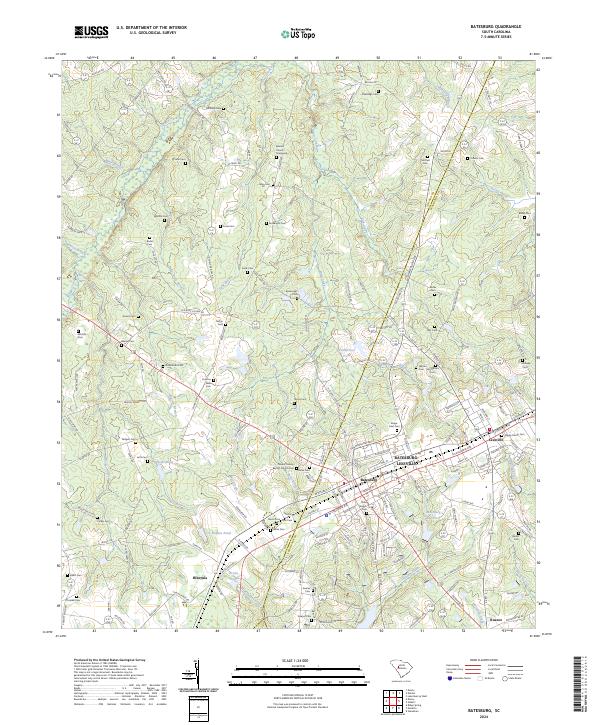
2024 Map of Batesburg
USGS Topo · Published 2024About this map
Batesburg-Leesville serves as the central hub of this modern topography, where the boundary between Saluda and Lexington counties divides the landscape. This area is exceptionally dense with family-named burial grounds and historical sites, reflecting deep-rooted settlement patterns across the Midlands. To the north, features like the Beulah Church Graveyard and Etheredge Cem overlook the drainage of Clouds Creek, while the southern reaches near Hibernia and Kneece are defined by agricultural tracts and small water bodies like Fricks Pond. The mapping reveals a complex network of rural roads such as Duncan Rd and Spann Rd that have long connected these farming communities. Notable for genealogists, the map preserves the locations of numerous smaller plots including Thrailkill Cem, Bouknight Cem, and Holston Wise Cem, many of which sit away from primary thoroughfares near Warren Branch and Dye Creek.
Find a feature on this map
175 named features on this map. Tap any name to fly to it.
Don’t see what you’re looking for? This feature index may not catch every label — zoom into the map to look around manually.
Map Details
Editions of this 2024 Batesburg Map
This is the sole edition of this map. No revisions or reprints were ever made.
Other maps of this area

1904 · Columbia
USGS Topo · 1:125,000

1941 · Spartanburg
USGS Topo · 1:250,000

1944 · Gilbert
USGS Topo · 1:62,500

1953 · Spartanburg
USGS Topo · 1:250,000

1954 · Augusta
USGS Topo · 1:250,000

1957 · Augusta
USGS Topo · 1:250,000

1958 · Augusta
USGS Topo · 1:250,000

1960 · Spartanburg
USGS Topo · 1:250,000

1961 · Augusta
USGS Topo · 1:250,000

1962 · Augusta
USGS Topo · 1:250,000
Featured Places
- Holston Crossroads, SC
- Leesville, Batesburg-Leesville
- Batesburg-Leesville, SC
- Batesburg, Batesburg-Leesville
- Hibernia, SC