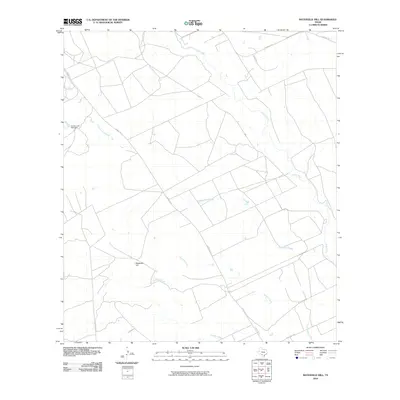
2010 Map of Batesville Hill
USGS Topo · Published 2010About this map
Batesville Hill anchors this region of Zavala County, where the landscape is defined by an intricate network of seasonal drainages and low-lying wetlands. The Leona River meanders across the northeastern quadrant, while numerous sloughs like Camp Lake Slough and Childers Slough indicate a terrain subject to natural overflow. This part of South Texas is characterized by a mix of ranching infrastructure and large-scale land divisions, with Ranch Rd 117 serving as a primary corridor through the brush country. The presence of the County Line Tank Dam and named waterways such as Gallina Creek and Rock Quarry Creek highlights the critical importance of water management in this arid ranching environment at the start of the 21st century.
Find a feature on this map
12 named features on this map. Tap any name to fly to it.
Don’t see what you’re looking for? This feature index may not catch every label — zoom into the map to look around manually.
Map Details
Editions of this 2010 Batesville Hill Map
This is the sole edition of this map. No revisions or reprints were ever made.
Other maps of this area

1898 · Uvalde
USGS Topo · 1:125,000

1899 · Uvalde
USGS Topo · 1:125,000

1939 · La Pryor
USGS Topo · 1:62,500

1953 · Crystal City
USGS Topo · 1:250,000

1954 · San Antonio
USGS Topo · 1:250,000

1955 · Crystal City
USGS Topo · 1:250,000

1957 · San Antonio
USGS Topo · 1:250,000

1957 · Batesville
USGS Topo · 1:62,500

1960 · Pulliam Ranch
USGS Topo · 1:24,000

1961 · Crystal City
USGS Topo · 1:250,000