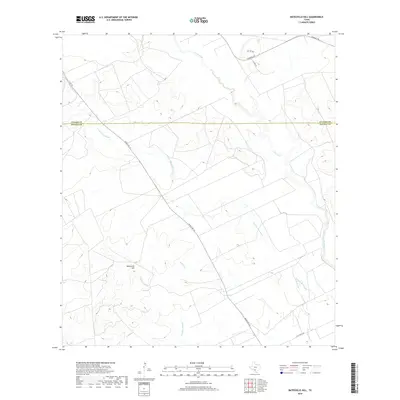
2019 Map of Batesville Hill
USGS Topo · Published 2019About this map
Batesville Hill rises above a complex drainage system where the South Texas brush country meets the ranch lands of the upper Rio Grande Plain. This 2019 survey captures the hydrological network of the Leona River and its associated seasonal waterways, including the winding Camp Lake Slough and Childers Slough. The landscape is defined by its agricultural and ranching infrastructure, bisected by the Uvalde and Zavala County line. Modern transportation routes like Ranch Rd 117 and Pearsall Rd provide the primary access through this sparsely populated terrain, while smaller tracks like High Fence Rd suggest the managed ranching operations typical of the region. The map details the subtle elevation changes near Gallina Cr and Rock Quarry Cr, revealing a terrain shaped by intermittent water flow and rural industry.
Find a feature on this map
13 named features on this map. Tap any name to fly to it.
Don’t see what you’re looking for? This feature index may not catch every label — zoom into the map to look around manually.
Map Details
Editions of this 2019 Batesville Hill Map
This is the sole edition of this map. No revisions or reprints were ever made.
Other maps of this area

1898 · Uvalde
USGS Topo · 1:125,000

1899 · Uvalde
USGS Topo · 1:125,000

1939 · La Pryor
USGS Topo · 1:62,500

1953 · Crystal City
USGS Topo · 1:250,000

1954 · San Antonio
USGS Topo · 1:250,000

1955 · Crystal City
USGS Topo · 1:250,000

1957 · San Antonio
USGS Topo · 1:250,000

1957 · Batesville
USGS Topo · 1:62,500

1960 · Pulliam Ranch
USGS Topo · 1:24,000

1961 · Crystal City
USGS Topo · 1:250,000