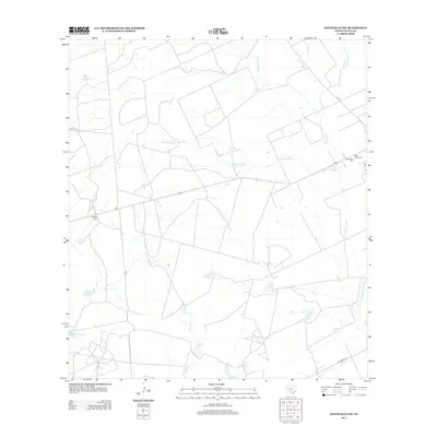
2013 Map of Batesville NW
USGS Topo · Published 2013About this map
Water management dominates the landscape of this Zavala County region, where an intricate network of tanks and sloughs defines the ranching and agricultural patterns of the early 21st century. The map reveals the critical importance of water storage in this semi-arid environment, from the northern Cutoff Rock Tank and Obis Tank to the southern Saladillo Tank and Tank Number Four. Natural drainage features like Gallina Cr and Tortuga Cr meander through the terrain, occasionally feeding into marshy depressions such as Childers Slough and the expansive Gallina Slough.
Find a feature on this map
19 named features on this map. Tap any name to fly to it.
Don’t see what you’re looking for? This feature index may not catch every label — zoom into the map to look around manually.
Map Details
Editions of this 2013 Batesville NW Map
This is the sole edition of this map. No revisions or reprints were ever made.
Other maps of this area

1898 · Uvalde
USGS Topo · 1:125,000

1899 · Uvalde
USGS Topo · 1:125,000

1939 · La Pryor
USGS Topo · 1:62,500

1953 · Crystal City
USGS Topo · 1:250,000

1954 · San Antonio
USGS Topo · 1:250,000

1955 · Crystal City
USGS Topo · 1:250,000

1957 · San Antonio
USGS Topo · 1:250,000

1957 · Batesville
USGS Topo · 1:62,500

1960 · Pulliam Ranch
USGS Topo · 1:24,000

1961 · Crystal City
USGS Topo · 1:250,000