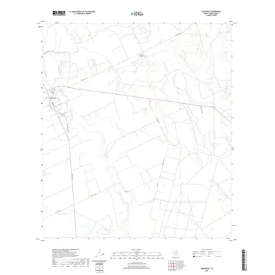
2019 Map of Batesville
USGS Topo · Published 2019About this map
Batesville serves as the central hub of this South Texas landscape, where the Leona River meanders south through a patchwork of agricultural fields and ranch land. The town's grid is detailed with residential streets like Maria St and Garden St, surrounding a local Po. Notable water management infrastructure is visible at the Old Comanche Irrigation Company Reservoir to the northwest, a remnant of historic irrigation efforts in the arid Brush Country. The surrounding terrain is defined by drainage systems like Liveoak Cr and Gallina Slough, which cut through the open country. Transport and ranching operations are prominent, anchored by the DM Ranch Airport and a network of arterial roads including Ranch Rd 117 and Ranch Rd 187.
Find a feature on this map
23 named features on this map. Tap any name to fly to it.
Don’t see what you’re looking for? This feature index may not catch every label — zoom into the map to look around manually.
Map Details
Editions of this 2019 Batesville Map
This is the sole edition of this map. No revisions or reprints were ever made.
Other maps of this area

1898 · Uvalde
USGS Topo · 1:125,000

1899 · Uvalde
USGS Topo · 1:125,000

1928 · Frio Town
USGS Topo · 1:62,500

1942 · Divot
USGS Topo · 1:62,500

1953 · Crystal City
USGS Topo · 1:250,000

1954 · San Antonio
USGS Topo · 1:250,000

1955 · Crystal City
USGS Topo · 1:250,000

1956 · Divot
USGS Topo · 1:62,500

1957 · San Antonio
USGS Topo · 1:250,000

1957 · Batesville
USGS Topo · 1:62,500