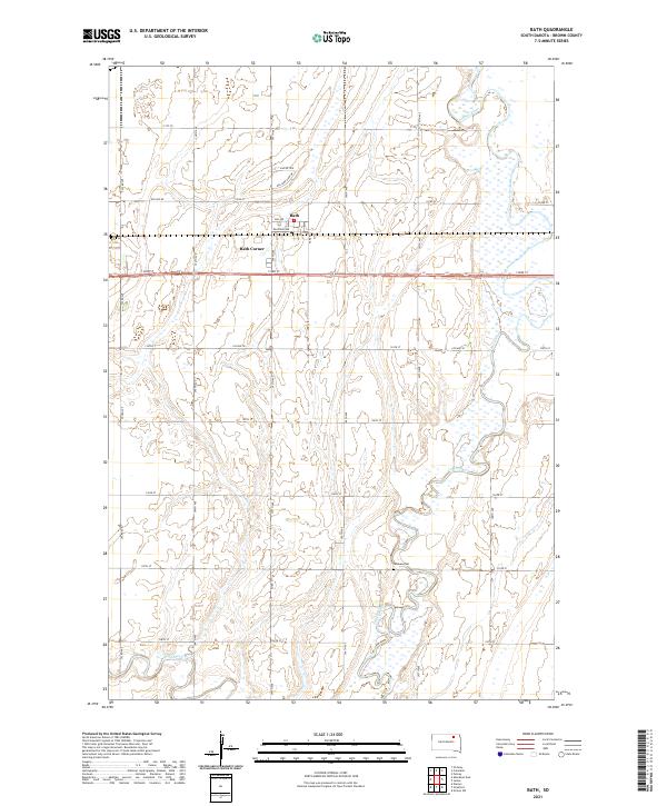
2021 Map of Bath
USGS Topo · Published 2021About this map
The Bath community and its neighboring Bath Corner are centered along the BNSF Railway corridor in Brown County, appearing as it did in the early 2020s. This agricultural landscape is defined by the winding course of the James River, which meanders through the eastern sections of the quadrangle, and Moccasin Creek to the southwest. The local infrastructure follows a precise grid of range and township lines, such as 394th Ave and 133rd St, which segment the prairie into large tracts of farmland. Notable for genealogists and local historians is the German Cem located south of the main settlement near Co Rd 21. The presence of the Po in the center of town remains a focal point for the small community, while names like Pintail Ave and Mallard View Dr suggest the importance of the regional wetlands and wildlife in the modern era.
Find a feature on this map
32 named features on this map. Tap any name to fly to it.
Don’t see what you’re looking for? This feature index may not catch every label — zoom into the map to look around manually.
Map Details
Editions of this 2021 Bath Map
This is the sole edition of this map. No revisions or reprints were ever made.
Other maps of this area

1894 · Columbia
USGS Topo · 1:62,500

1895 · Aberdeen
USGS Topo · 1:125,000

1896 · Columbia
USGS Topo · 1:125,000

1952 · Columbia
USGS Topo · 1:24,000

1952 · Ordway
USGS Topo · 1:24,000

1952 · Putney
USGS Topo · 1:24,000

1953 · Stratford
USGS Topo · 1:24,000

1953 · Groton SW
USGS Topo · 1:24,000

1953 · Warner
USGS Topo · 1:24,000

1954 · Bath
USGS Topo · 1:24,000