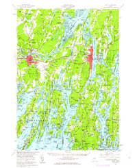
1957 Map of Bath
USGS Topo · Published 1963About this map
Bath stands as a primary hub of shipbuilding and maritime activity along the Kennebec River in this late-1950s survey. The map reveals the intricate network of tidal rivers and bays that defined mid-coast Maine's economy, from the Maine Central RR crossing to the sprawling Brunswick Naval Air Station. In Brunswick, the campus of Bowdoin College and the First Parish Cem mark the established cultural center of the region.
Find a feature on this map
111 named features on this map. Tap any name to fly to it.
Don’t see what you’re looking for? This feature index may not catch every label — zoom into the map to look around manually.
Map Details
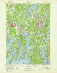
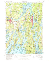
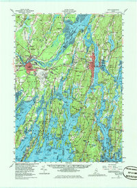
Editions of this 1957 Bath Map
4 editions found
Other maps of this area

1892 · Gardiner
USGS Topo · 1:62,500

1892 · Freeport
USGS Topo · 1:62,500

1893 · Small Point
USGS Topo · 1:62,500

1893 · Casco Bay
USGS Topo · 1:62,500

1893 · Wiscasset
USGS Topo · 1:62,500

1893 · Boothbay
USGS Topo · 1:62,500

1894 · Bath
USGS Topo · 1:62,500

1908 · Lewiston
USGS Topo · 1:62,500

1914 · Casco Bay
USGS Topo · 1:48,000

1916 · Casco Bay
USGS Topo · 1:62,500