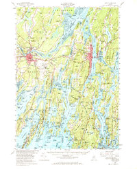
1957 Map of Bath
USGS Topo · Published 1968About this map
The Kennebec River and Androscoggin River converge at Merrymeeting Bay, anchoring a landscape of deep-water channels and jagged peninsulas. In this late 1950s survey, the industrial and educational centers of Bath and Brunswick are well established, with Bowdoin College and the Brunswick Naval Air Station occupying significant ground. The Maine Central RR winds through the river valleys, connecting timber and trade routes while the emerging Maine Turnpike appears at the western edge, signaling a shift in mid-century transportation.
Find a feature on this map
283 named features on this map. Tap any name to fly to it.
Don’t see what you’re looking for? This feature index may not catch every label — zoom into the map to look around manually.
Map Details
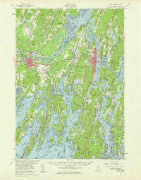
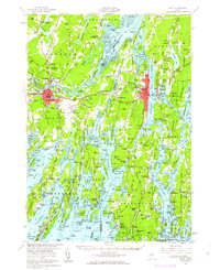
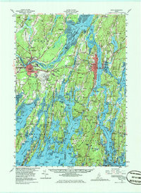
Editions of this 1957 Bath Map
4 editions found
Other maps of this area

1892 · Gardiner
USGS Topo · 1:62,500

1892 · Freeport
USGS Topo · 1:62,500

1893 · Small Point
USGS Topo · 1:62,500

1893 · Casco Bay
USGS Topo · 1:62,500

1893 · Wiscasset
USGS Topo · 1:62,500

1893 · Boothbay
USGS Topo · 1:62,500

1894 · Bath
USGS Topo · 1:62,500

1908 · Lewiston
USGS Topo · 1:62,500

1914 · Casco Bay
USGS Topo · 1:48,000

1916 · Casco Bay
USGS Topo · 1:62,500