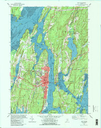
1980 Map of Bath
USGS Topo · Published 1990About this map
Bath dominates the western bank of the Kennebec River, its maritime heritage evidenced by the Marine Mus, a Dry Dock, and the prominent US Coast Guard Station near Fiddler Reach. This mapping captures the city's established infrastructure, including the Maine Central railroad corridor and major educational institutions like Morse High Sch and the Hyde Sch. The surrounding landscape is a complex network of waterways and tidal flats, from Merrymeeting Bay in the north to the treacherous waters of Upper Hell Gate and Hockomock Bay to the east.
Find a feature on this map
102 named features on this map. Tap any name to fly to it.
Don’t see what you’re looking for? This feature index may not catch every label — zoom into the map to look around manually.
Map Details
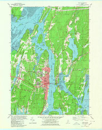
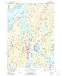
Editions of this 1980 Bath Map
3 editions found
Other maps of this area

1892 · Gardiner
USGS Topo · 1:62,500

1893 · Wiscasset
USGS Topo · 1:62,500

1893 · Boothbay
USGS Topo · 1:62,500

1894 · Bath
USGS Topo · 1:62,500

1920 · Bath
USGS Topo · 1:62,500

1941 · Boothbay
USGS Topo · 1:62,500

1943 · Gardiner
USGS Topo · 1:62,500

1943 · Boothbay
USGS Topo · 1:62,500

1944 · Wiscasset
USGS Topo · 1:62,500

1944 · Boothbay
USGS Topo · 1:62,500