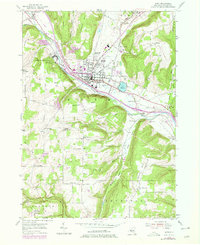
1953 Map of Bath
USGS Topo · Published 1978About this map
The Cohocton River valley defines the character of this Steuben County landscape, where the village of Bath serves as a significant regional hub. The map highlights a complex infrastructure including the expansive Veterans Administration Center and the Fair Grounds north of the river. Transportation patterns are clearly established by the Conrail rail lines and the historic Turnpike Road, which facilitate movement between early settlements like Kanona and Knight Settlement.
Find a feature on this map
56 named features on this map. Tap any name to fly to it.
Don’t see what you’re looking for? This feature index may not catch every label — zoom into the map to look around manually.
Map Details
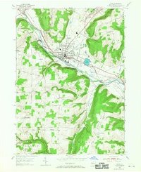
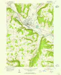
Editions of this 1953 Bath Map
Other maps of this area

1903 · Hammondsport
USGS Topo · 1:62,500

1910 · Bath
USGS Topo · 1:62,500

1914 · Corning
USGS Topo · 1:62,500

1924 · Woodhull
USGS Topo · 1:48,000

1926 · Woodhull
USGS Topo · 1:62,500

1944 · Woodhull
USGS Topo · 1:62,500

1944 · Corning
USGS Topo · 1:62,500

1950 · Elmira
USGS Topo · 1:250,000

1953 · Campbell
USGS Topo · 1:24,000

1953 · Cameron
USGS Topo · 1:24,000