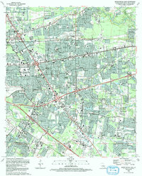
1992 Map of Baton Rouge East
USGS Topo · Published 1992About this map
Greendale sits at the northern edge of this suburban landscape, an area defined by its dense residential growth and complex road network at the start of the 1990s. The geography here is a mix of late-twentieth-century development interspersed with drainage systems like Hurricane Creek and Ward Creek, which shape the flow of the modern neighborhoods. This specific edition, revised from 1989 aerial photography, documents the expansion of the eastern corridor, showing the intricate grid of residential streets that had largely replaced former agricultural or undeveloped lands by this period. For researchers of Louisiana urban development, the map provides a clear record of the spatial organization of commercial and residential zones just before the digital mapping era, capturing the precise layout of Greendale and its surrounding communities during a phase of significant regional growth.
Find a feature on this map
1 named feature on this map. Tap any name to fly to it.
Don’t see what you’re looking for? This feature index may not catch every label — zoom into the map to look around manually.
Map Details
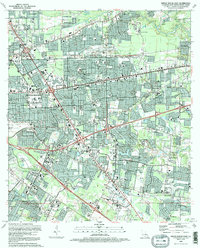
Editions of this 1992 Baton Rouge East Map
2 editions found
Other maps of this area

1906 · Bayou Sara
USGS Topo · 1:125,000

1908 · Baton Rouge
USGS Topo · 1:62,500

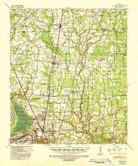
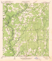
1934 · Denham Springs
USGS Topo · 1:62,500
1939 · Zachary
USGS Topo · 1:62,500

1939 · Denham Springs
USGS Topo · 1:62,500
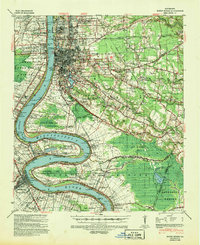
1939 · Baton Rouge
USGS Topo · 1:62,500
1942 · Watson
USGS Topo · 1:31,680

1953 · Baton Rouge West
USGS Topo · 1:24,000
1953 · Plaquemine
USGS Topo · 1:24,000
1953 · St. Gabriel
USGS Topo · 1:24,000