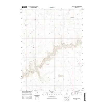
2013 Map of Battle Creek Lakes
USGS Topo · Published 2013About this map
Battle Cr carves a deep canyon through this high desert plateau in Owyhee County, revealing the complex drainage patterns of a landscape shaped by seasonal water. The 2013 survey illustrates the rugged topography between Dickshooter Ridge and the broad expanses of Squaw Meadows, where elevation shifts dramatically from flat tablelands into steep draws. Named landmarks like Kelly Park and Freshwater Draw suggest historical focal points for movement or grazing in an otherwise sparse environment. The presence of Willow Spring at the head of Dickshooter Cr highlights the critical importance of isolated water sources in this arid stretch of southwestern Idaho. This map provides a clear record of the Public Land Survey System grid across T12S and T13S, useful for tracing property boundaries and land use history in a region defined by its watercourses and rimrock.
Find a feature on this map
12 named features on this map. Tap any name to fly to it.
Don’t see what you’re looking for? This feature index may not catch every label — zoom into the map to look around manually.
Map Details
Editions of this 2013 Battle Creek Lakes Map
This is the sole edition of this map. No revisions or reprints were ever made.
Other maps of this area

1955 · Jordan Valley
USGS Topo · 1:250,000

1957 · Jordan Valley
USGS Topo · 1:250,000

1958 · Jordan Valley
USGS Topo · 1:250,000
1971 · Jarvis Pasture
USGS Topo · 1:24,000

1971 · Ross Lake
USGS Topo · 1:24,000
1972 · Frying Pan Basin
USGS Topo · 1:24,000
1972 · Shoofly Springs
USGS Topo · 1:24,000
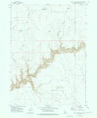
1972 · Battle Creek Lakes
USGS Topo · 1:24,000
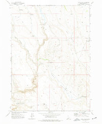
1972 · Lost Valley
USGS Topo · 1:24,000
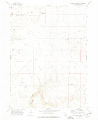
1973 · Dickshooter Reservoir
USGS Topo · 1:24,000