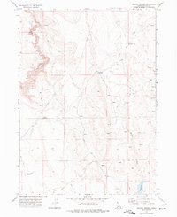
1972 Map of Shoofly Springs
USGS Topo · Published 1976About this map
Shoofly Springs and a network of high-desert water sources define this 1970s landscape in Owyhee County. The terrain is marked by the deep incision of Battle Creek and the meandering path of Shoofly Creek, where early ranching and livestock infrastructure is evident through numerous reservoirs and remote jeep trails. The distribution of Eds Defeat Reservoir, Owens Reservoir, and Willow Creek Reservoir across the arid plateau suggests a reliance on carefully managed water storage for range management during this era.
Find a feature on this map
21 named features on this map. Tap any name to fly to it.
Don’t see what you’re looking for? This feature index may not catch every label — zoom into the map to look around manually.
Map Details
Editions of this 1972 Shoofly Springs Map
This is the sole edition of this map. No revisions or reprints were ever made.
Other maps of this area

1955 · Jordan Valley
USGS Topo · 1:250,000

1957 · Jordan Valley
USGS Topo · 1:250,000

1958 · Jordan Valley
USGS Topo · 1:250,000
1971 · Flying H Ranch
USGS Topo · 1:24,000
1971 · Jarvis Pasture
USGS Topo · 1:24,000

1971 · Ross Lake
USGS Topo · 1:24,000
1972 · Frying Pan Basin
USGS Topo · 1:24,000

1972 · Turner Table
USGS Topo · 1:24,000
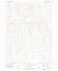
1972 · Nichol Flat
USGS Topo · 1:24,000
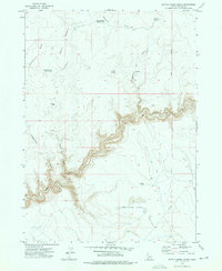
1972 · Battle Creek Lakes
USGS Topo · 1:24,000