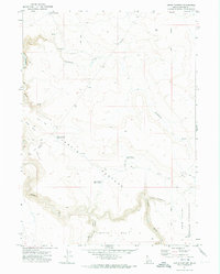
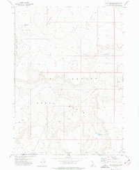
1971 Map of Jarvis Pasture
USGS Topo · Published 1974About this map
Owyhee River canyonlands and high plateaus dominate this 1970s Idaho-Owyhee border landscape. The map centers on the extensive Jarvis Pasture, a remote region defined by its water management systems including Jarvis Pasture Reservoir No 1, Jarvis Pasture Reservoir No 2, and Jarvis Pasture Reservoir No 3. These man-made features, alongside Wiley Reservoir and Beck Reservoir, indicate the critical importance of water storage for livestock and ranching in this arid environment.
Find a feature on this map
18 named features on this map. Tap any name to fly to it.
Don’t see what you’re looking for? This feature index may not catch every label — zoom into the map to look around manually.
Map Details
Editions of this 1971 Jarvis Pasture Map
This is the sole edition of this map. No revisions or reprints were ever made.
Other maps of this area

1955 · Jordan Valley
USGS Topo · 1:250,000

1957 · Jordan Valley
USGS Topo · 1:250,000

1958 · Jordan Valley
USGS Topo · 1:250,000

1971 · Juniper Basin SE
USGS Topo · 1:24,000

1971 · Juniper Basin
USGS Topo · 1:24,000

1971 · Ross Lake
USGS Topo · 1:24,000
1972 · Shoofly Springs
USGS Topo · 1:24,000
1972 · Battle Creek Lakes
USGS Topo · 1:24,000
1973 · Dickshooter Ridge
USGS Topo · 1:24,000
1973 · Four Corners
USGS Topo · 1:24,000