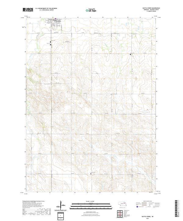
2021 Map of Battle Creek
USGS Topo · Published 2021About this map
Battle Creek serves as the primary hub of this Madison County landscape, organized by the precise grid of the Public Land Survey System across the township boundaries of t23n r3w, t23n r2w, t22n r3w, and t22n r2w. The terrain is defined by the winding paths of Battle Creek, North Taylor Creek, and Taylor Creek, which break the regularity of the section lines. This 2021 survey provides significant genealogical value through the documentation of local burial sites, including the Lutheran Cemetery and Union Cemetery situated south of the main town site, as well as the more isolated Fairview Cemetery and Allbery Cemetery. The road network, characterized by named routes like Sherwood Road and numbered section lines such as 546th Avenue, reflects the enduring rural structure of the Nebraska plains.
Find a feature on this map
42 named features on this map. Tap any name to fly to it.
Don’t see what you’re looking for? This feature index may not catch every label — zoom into the map to look around manually.
Map Details
Editions of this 2021 Battle Creek Map
This is the sole edition of this map. No revisions or reprints were ever made.
Other maps of this area

1955 · Sioux City
USGS Topo · 1:250,000

1955 · Fremont
USGS Topo · 1:250,000

1957 · Fremont
USGS Topo · 1:250,000

1958 · Sioux City
USGS Topo · 1:250,000

1958 · Fremont
USGS Topo · 1:250,000

1959 · Sioux City
USGS Topo · 1:250,000

1963 · Madison
USGS Topo · 1:24,000

1963 · Battle Creek
USGS Topo · 1:24,000

1963 · Pierce SE
USGS Topo · 1:24,000

1963 · Emerick
USGS Topo · 1:24,000