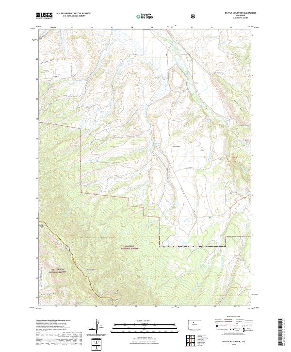
2022 Map of Battle Mountain
USGS Topo · Published 2022About this map
The high alpine divide of the Williams Fork Mountains dominates this portion of the Colorado Rockies, where the border between Grand Co and Summit Co follows the jagged ridgeline. This landscape is a complex network of water management and high-altitude forest, split between the Arapaho National Forest and the White River National Forest. Human intervention in the arid environment is evident through early engineering features like the Big Lake Ditch, Dale Ditch, and Rohan Ditch, which redirect snowmelt through the rugged drainages.
Find a feature on this map
51 named features on this map. Tap any name to fly to it.
Don’t see what you’re looking for? This feature index may not catch every label — zoom into the map to look around manually.
Map Details
Editions of this 2022 Battle Mountain Map
This is the sole edition of this map. No revisions or reprints were ever made.
Other maps of this area

1933 · Mt. Powell
USGS Topo · 1:48,000

1933 · Ute Peak
USGS Topo · 1:62,500

1937 · Ute Peak
USGS Topo · 1:62,500

1940 · Mount Powell
USGS Topo · 1:62,500

1954 · Craig
USGS Topo · 1:250,000

1956 · Kremmling
USGS Topo · 1:62,500

1957 · Craig
USGS Topo · 1:250,000

1957 · Hot Sulphur Springs
USGS Topo · 1:62,500

1957 · Leadville
USGS Topo · 1:250,000

1958 · Craig
USGS Topo · 1:250,000