
2020 Map of Battle Mountain
USGS Topo · Published 2020About this map
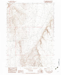
Battle Mtn rises as a central topographic feature in this corner of Malheur County, where the landscape is defined by a dense network of water management features essential for high-desert ranching. The map reveals an intricate system of small-scale reservoirs and springs, including Summit Reservoir, Harper Reservoir, and Upper Rattlesnake Reservoir, which capture runoff in an area carved by seasonal drainages. These water sources often bear descriptive local names such as Deadhorse Spring, Mules Ear Reservoir, and Black Rock Spring. Human passage through this terrain is limited to rugged tracks like Battle Creek Ranch Rd, highlighting the specialized land use in this part of eastern Oregon. The distribution of these water points near features like Isaac Canyon and Barn Canyon provides a detailed look at how the cattle-ranching economy adapted to the local hydrology and relief.
Find a feature on this map
31 named features on this map. Tap any name to fly to it.
Don’t see what you’re looking for? This feature index may not catch every label — zoom into the map to look around manually.
Map Details
Editions of this 2020 Battle Mountain Map
This is the sole edition of this map. No revisions or reprints were ever made.
Other maps of this area

1955 · Jordan Valley
USGS Topo · 1:250,000

1957 · Jordan Valley
USGS Topo · 1:250,000

1958 · Jordan Valley
USGS Topo · 1:250,000

1982 · Battle Mtn
USGS Topo · 1:24,000

1982 · Rattlesnake Canyon
USGS Topo · 1:24,000
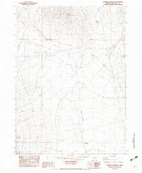
1982 · Bowden Waterhole
USGS Topo · 1:24,000
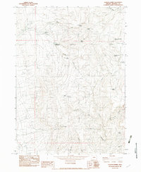
1982 · Jackson Summit
USGS Topo · 1:24,000
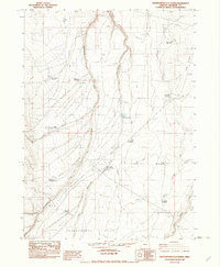
1982 · Grasshopper Flat North
USGS Topo · 1:24,000
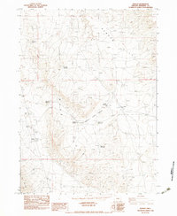
1982 · Basque
USGS Topo · 1:24,000
1982 · Battle Creek Ranch
USGS Topo · 1:24,000