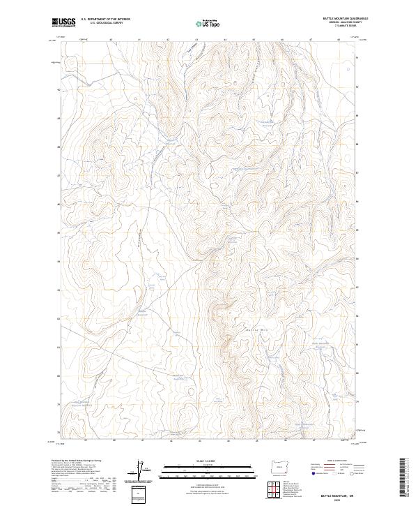
2023 Map of Battle Mountain
USGS Topo · Published 2023About this map
The high desert landscape of eastern Malheur County is defined here by a network of drainage canyons and isolated watering points essential for ranching. Battle Creek Ranch Rd winds through the western terrain, providing access to the high elevations of Battle Mtn. The hydrology of this arid region is dominated by small, human-made catchments including Harper Reservoir, Big Arrow Reservoir, and Mules Ear Reservoir.
Find a feature on this map
30 named features on this map. Tap any name to fly to it.
Don’t see what you’re looking for? This feature index may not catch every label — zoom into the map to look around manually.
Map Details
Editions of this 2023 Battle Mountain Map
This is the sole edition of this map. No revisions or reprints were ever made.
Other maps of this area

1955 · Jordan Valley
USGS Topo · 1:250,000

1957 · Jordan Valley
USGS Topo · 1:250,000

1958 · Jordan Valley
USGS Topo · 1:250,000

1982 · Battle Mtn
USGS Topo · 1:24,000

1982 · Rattlesnake Canyon
USGS Topo · 1:24,000
1982 · Bowden Waterhole
USGS Topo · 1:24,000
1982 · Jackson Summit
USGS Topo · 1:24,000
1982 · Grasshopper Flat North
USGS Topo · 1:24,000
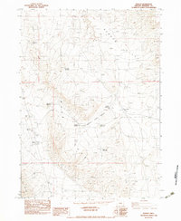
1982 · Basque
USGS Topo · 1:24,000
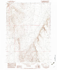
1982 · Battle Creek Ranch
USGS Topo · 1:24,000