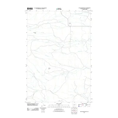
2011 Map of Battleship Butte
USGS Topo · Published 2011About this map
Melville Cemetery sits in the northern reaches of this Montana landscape, a focal point for local history in a region defined by its complex drainage network. The terrain is dominated by the prominent elevation of Battleship Butte, which overlooks a web of seasonal and perennial waterways including Sweet Grass Creek and Otter Creek. The map documents a sparse ranching and homesteading environment, evidenced by the presence of the Vik Homestead and the Stevens Number 1 Dam on Horse Creek. This survey captures the rural infrastructure of the early 21st century, where access is maintained via routes like Plaggemeyer Gulch Rd and Grosfield Ln. The convergence of numerous named creeks, such as Bologne Creek and Wheeler Creek, suggests a landscape shaped by water management and traditional land use in Sweet Grass County.
Find a feature on this map
19 named features on this map. Tap any name to fly to it.
Don’t see what you’re looking for? This feature index may not catch every label — zoom into the map to look around manually.
Map Details
Editions of this 2011 Battleship Butte Map
This is the sole edition of this map. No revisions or reprints were ever made.
Other maps of this area

1886 · Little Belt Mts.
USGS Topo · 1:250,000

1889 · Big Snowy Mountain
USGS Topo · 1:250,000

1891 · Livingston
USGS Topo · 1:250,000

1891 · Big Timber
USGS Topo · 1:125,000

1893 · Livingston
USGS Topo · 1:250,000

1893 · Big Snowy Mountain
USGS Topo · 1:250,000

1893 · Big Timber
USGS Topo · 1:125,000

1894 · Little Belt Mts.
USGS Topo · 1:250,000

1897 · Little Belt Mts.
USGS Topo · 1:250,000

1898 · Little Belt Mts.
USGS Topo · 1:250,000