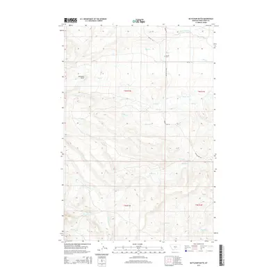
2014 Map of Battleship Butte
USGS Topo · Published 2014About this map
Battleship Butte rises as a prominent landmark in this section of Sweet Grass County, where the high plains transition into a complex drainage system. The landscape is defined by its numerous creeks, including Sweet Grass Creek to the north and the southward-flowing Big Timber Creek. These watercourses have historically dictated the placement of rural roads such as Melville Road and Wheeler Creek Road, which follow the natural contours of the land to connect isolated ranching areas. Local history is centered at the Melville Cemetery, a quiet site along Billy Creek that serves as a physical record of the families who settled this region of Montana. The map illustrates a network of seasonal and perennial streams like Bologne Creek and Tenmile Creek, highlighting the critical importance of water management in this arid environment.
Find a feature on this map
23 named features on this map. Tap any name to fly to it.
Don’t see what you’re looking for? This feature index may not catch every label — zoom into the map to look around manually.
Map Details
Editions of this 2014 Battleship Butte Map
This is the sole edition of this map. No revisions or reprints were ever made.
Other maps of this area

1886 · Little Belt Mts.
USGS Topo · 1:250,000

1889 · Big Snowy Mountain
USGS Topo · 1:250,000

1891 · Livingston
USGS Topo · 1:250,000

1891 · Big Timber
USGS Topo · 1:125,000

1893 · Livingston
USGS Topo · 1:250,000

1893 · Big Snowy Mountain
USGS Topo · 1:250,000

1893 · Big Timber
USGS Topo · 1:125,000

1894 · Little Belt Mts.
USGS Topo · 1:250,000

1897 · Little Belt Mts.
USGS Topo · 1:250,000

1898 · Little Belt Mts.
USGS Topo · 1:250,000