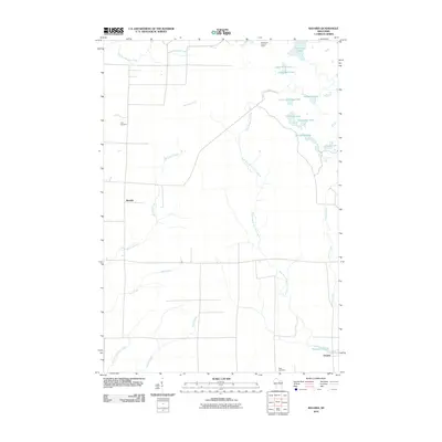
2010 Map of Bavaria
USGS Topo · Published 2010About this map
Bavaria and Ormsby define the small-town character of this Langlade County landscape, situated within a dense network of glacial lakes and northern tributaries. The terrain is marked by a complex water system, including the meandering West Branch Eau Claire River and several distinctive basins such as Saddlebag Lake, Horseshoe Lake, and Bullhead Lake. This 2010 survey reflects a rural environment where land use is largely divided between forestry and small-scale agriculture, connected by a structured grid of local roads.
Find a feature on this map
22 named features on this map. Tap any name to fly to it.
Don’t see what you’re looking for? This feature index may not catch every label — zoom into the map to look around manually.
Map Details
Editions of this 2010 Bavaria Map
This is the sole edition of this map. No revisions or reprints were ever made.
Other maps of this area

1899 · Wausau
USGS Topo · 1:125,000

1902 · Wausau
USGS Topo · 1:125,000

1940 · Parrish
USGS Topo · 1:48,000

1942 · Elcho
USGS Topo · 1:48,000

1950 · Elcho
USGS Topo · 1:48,000

1950 · Parrish
USGS Topo · 1:48,000

1951 · Doering
USGS Topo · 1:48,000

1952 · Parrish
USGS Topo · 1:48,000

1952 · Antigo
USGS Topo · 1:48,000

1954 · Iron Mountain
USGS Topo · 1:250,000