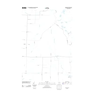
2013 Map of Bavaria
USGS Topo · Published 2013About this map
Bavaria and Ormsby anchor this portion of Langlade County, where the north-central Wisconsin landscape is defined by the winding course of the W Br Eau Claire River. The area exhibits a classic post-glacial topography, characterized by a dense concentration of kettle lakes and wetlands in the northeast, including Partridge Lake, Horseshoe Lake, and Bullhead Lake. A significant cultural and geographic corridor is formed by the Ice Age Natl Scenic Trl, which meanders through the forest lands east of the river, following the terminal moraine. Settlement patterns are sparse and largely oriented around regional routes like Cohwy-J and Cohwy-H, with small clusters of development near Ormsby Pond and along the local creek systems of McCloud Cr and Pratt Cr. The map captures a region primarily dedicated to timber and recreation just after the first decade of the 21st century.
Find a feature on this map
46 named features on this map. Tap any name to fly to it.
Don’t see what you’re looking for? This feature index may not catch every label — zoom into the map to look around manually.
Map Details
Editions of this 2013 Bavaria Map
This is the sole edition of this map. No revisions or reprints were ever made.
Other maps of this area

1899 · Wausau
USGS Topo · 1:125,000

1902 · Wausau
USGS Topo · 1:125,000

1940 · Parrish
USGS Topo · 1:48,000

1942 · Elcho
USGS Topo · 1:48,000

1950 · Elcho
USGS Topo · 1:48,000

1950 · Parrish
USGS Topo · 1:48,000

1951 · Doering
USGS Topo · 1:48,000

1952 · Parrish
USGS Topo · 1:48,000

1952 · Antigo
USGS Topo · 1:48,000

1954 · Iron Mountain
USGS Topo · 1:250,000