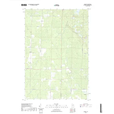
2018 Map of Bavaria
USGS Topo · Published 2018About this map
Bavaria and Ormsby serve as the primary coordinates in this part of Langlade County, where the landscape is defined by a dense network of glacial lakes and northern watercourses. The northeastern quadrant is particularly rich in hydrology, featuring a string of connected water bodies including Upper Wolf Lake, Lower Wolf Lake, Bullhead Lake, and Horseshoe Lake. Cutting through these glacial features is the Ice Age National Scenic Trail, which winds past Little Partridge Lake and Saddlebag Lake, tracing the area's distinct geological history.
Find a feature on this map
43 named features on this map. Tap any name to fly to it.
Don’t see what you’re looking for? This feature index may not catch every label — zoom into the map to look around manually.
Map Details
Editions of this 2018 Bavaria Map
This is the sole edition of this map. No revisions or reprints were ever made.
Other maps of this area

1899 · Wausau
USGS Topo · 1:125,000

1902 · Wausau
USGS Topo · 1:125,000

1940 · Parrish
USGS Topo · 1:48,000

1942 · Elcho
USGS Topo · 1:48,000

1950 · Elcho
USGS Topo · 1:48,000

1950 · Parrish
USGS Topo · 1:48,000

1951 · Doering
USGS Topo · 1:48,000

1952 · Parrish
USGS Topo · 1:48,000

1952 · Antigo
USGS Topo · 1:48,000

1954 · Iron Mountain
USGS Topo · 1:250,000