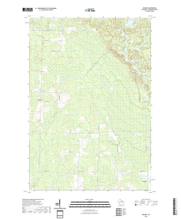
2022 Map of Bavaria
USGS Topo · Published 2022About this map
The settlement of Bavaria and the surrounding timberland of Langlade County are documented in this contemporary survey, revealing a landscape defined by glacial hydrology and rural navigation. The Ice Age National Scenic Trl winds through the eastern portion of the quadrangle, skirting several water bodies including Upper Wolf Lake and Lower Wolf Lake. This region is heavily influenced by the drainage of the W Br Eau Claire River and McCloud Cr, which cut through the forested terrain. Genealogists will find the Gleason Cem in the northwest, while the southeastern corner is marked by the presence of Ormsby, situated near Ormsby Pond. The map illustrates a network of county highways and local roads such as Co RD H and Brown Bear Rd, which facilitate access across the varied wetlands and creek beds.
Find a feature on this map
46 named features on this map. Tap any name to fly to it.
Don’t see what you’re looking for? This feature index may not catch every label — zoom into the map to look around manually.
Map Details
Editions of this 2022 Bavaria Map
This is the sole edition of this map. No revisions or reprints were ever made.
Other maps of this area

1899 · Wausau
USGS Topo · 1:125,000

1902 · Wausau
USGS Topo · 1:125,000

1940 · Parrish
USGS Topo · 1:48,000

1942 · Elcho
USGS Topo · 1:48,000

1950 · Elcho
USGS Topo · 1:48,000

1950 · Parrish
USGS Topo · 1:48,000

1951 · Doering
USGS Topo · 1:48,000

1952 · Parrish
USGS Topo · 1:48,000

1952 · Antigo
USGS Topo · 1:48,000

1954 · Iron Mountain
USGS Topo · 1:250,000