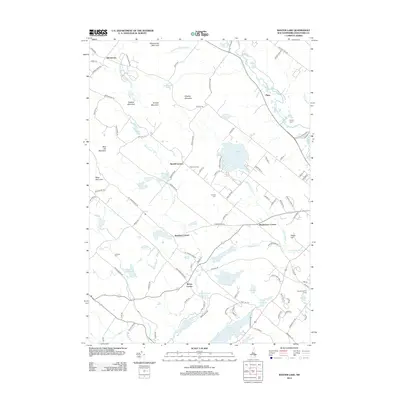
2012 Map of Baxter Lake
USGS Topo · Published 2012About this map
Baxter Lake and the surrounding woodlands of Strafford County define this landscape, where early 21st-century settlement patterns are anchored by historical rural intersections. The map highlights several distinct road junctions including Strafford Corner, Merrill Corners, and Meaderboro Corner, which have long served as local landmarks. The terrain is marked by a series of prominent peaks, notably Blue Job Mountain, Whitehouse Mountain, and Chesley Mountain, which frame the watershed for the Berrys River and Isinglass River. Genealogists will find value in the clear placement of the Kimball Cem and Johnson Cem. The eastern portion of the quadrangle shows the significant footprint of the Rochester Reservoir and several smaller water bodies like Round Pond and Ayers Pond, reflecting a region rich in water resources and recreational camps such as Squamanagonic Camp.
Find a feature on this map
107 named features on this map. Tap any name to fly to it.
Don’t see what you’re looking for? This feature index may not catch every label — zoom into the map to look around manually.
Map Details
Editions of this 2012 Baxter Lake Map
This is the sole edition of this map. No revisions or reprints were ever made.
Other maps of this area

1891 · Berwick
USGS Topo · 1:62,500

1893 · Dover
USGS Topo · 1:62,500

1893 · Berwick
USGS Topo · 1:62,500

1916 · Dover
USGS Topo · 1:62,500

1917 · Mt. Pawtuckaway
USGS Topo · 1:62,500

1918 · Dover
USGS Topo · 1:62,500

1919 · Mt. Pawtuckaway
USGS Topo · 1:62,500

1919 · Alton
USGS Topo · 1:62,500

1933 · Berwick
USGS Topo · 1:48,000

1937 · Berwick
USGS Topo · 1:62,500