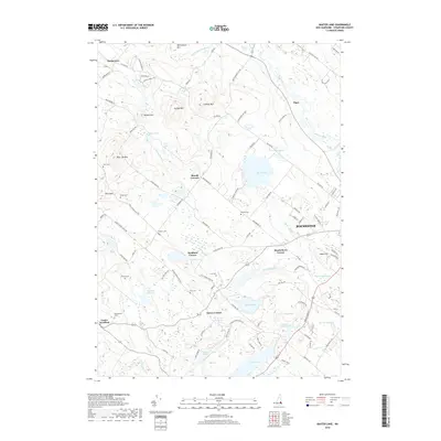
2018 Map of Baxter Lake
USGS Topo · Published 2018About this map
The Berrys River and Cocheco River systems define this segment of Strafford County, where rural crossroads like Strafford Corner and Berrys Corner maintain the region's historical settlement patterns. Modern development from Rochester extends toward the western highlands, yet the landscape remains largely characterized by its numerous water bodies and notable peaks like Blue Job Mtn and Hussey Mtn. Significant local-history value is found in the distribution of family burial grounds, including the Ham Cem, Stanton Cem, and Kimball Cem, which are scattered among the ridges and ponds. The transition from industrial areas near Rochester to the protected waters of the Berrys River Reservoir and Baxter Lake illustrates the balance between expanding residential infrastructure and the preservation of New Hampshire's riverine environments.
Find a feature on this map
101 named features on this map. Tap any name to fly to it.
Don’t see what you’re looking for? This feature index may not catch every label — zoom into the map to look around manually.
Map Details
Editions of this 2018 Baxter Lake Map
This is the sole edition of this map. No revisions or reprints were ever made.
Other maps of this area

1891 · Berwick
USGS Topo · 1:62,500

1893 · Dover
USGS Topo · 1:62,500

1893 · Berwick
USGS Topo · 1:62,500

1916 · Dover
USGS Topo · 1:62,500

1917 · Mt. Pawtuckaway
USGS Topo · 1:62,500

1918 · Dover
USGS Topo · 1:62,500

1919 · Mt. Pawtuckaway
USGS Topo · 1:62,500

1919 · Alton
USGS Topo · 1:62,500

1933 · Berwick
USGS Topo · 1:48,000

1937 · Berwick
USGS Topo · 1:62,500