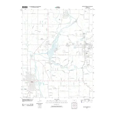
2010 Map of Baxter Springs
USGS Topo · Published 2010About this map
The Spring River and Shoal Creek dominate the landscape of Cherokee County, Kansas, in this 2010 survey, illustrating a dense network of riverfront settlements and rural burial grounds. The larger communities of Baxter Springs and Galena anchor the south and east, while smaller hubs like Riverton and Lowell sit at the confluence of major waterways. This map is particularly valuable for its documentation of family and community cemeteries, including Pence Cemetery, Gandy Cemetery, and the Faith Community Church Cemetery.
Find a feature on this map
105 named features on this map. Tap any name to fly to it.
Don’t see what you’re looking for? This feature index may not catch every label — zoom into the map to look around manually.
Map Details
Editions of this 2010 Baxter Springs Map
This is the sole edition of this map. No revisions or reprints were ever made.
Other maps of this area

1886 · Joplin
USGS Topo · 1:125,000

1894 · Joplin
USGS Topo · 1:125,000

1907 · Wyandotte
USGS Topo · 1:125,000

1909 · Wyandotte
USGS Topo · 1:125,000

1918 · Columbus
USGS Topo · 1:62,500

1947 · Joplin
USGS Topo · 1:250,000

1949 · Joplin
USGS Topo · 1:250,000

1949 · Racine
USGS Topo · 1:24,000

1950 · Racine
USGS Topo · 1:24,000

1954 · Tulsa
USGS Topo · 1:250,000