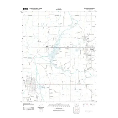
2012 Map of Baxter Springs
USGS Topo · Published 2012About this map
The Spring River and its major tributaries, Shoal Cr and Brush Cr, define the drainage of this Cherokee County landscape just north of the Oklahoma border. The area is characterized by a high density of small burial grounds that point to the historical footprint of early settlements, including the Boston Mills - Cox Cem near the northern boundary and the Quaker Valley Cem further south. The community of Riverton sits at the confluence of the river and creek systems, serving as a central hub between Empire City and Lowell.
Find a feature on this map
172 named features on this map. Tap any name to fly to it.
Don’t see what you’re looking for? This feature index may not catch every label — zoom into the map to look around manually.
Map Details
Editions of this 2012 Baxter Springs Map
This is the sole edition of this map. No revisions or reprints were ever made.
Other maps of this area

1886 · Joplin
USGS Topo · 1:125,000

1894 · Joplin
USGS Topo · 1:125,000

1907 · Wyandotte
USGS Topo · 1:125,000

1909 · Wyandotte
USGS Topo · 1:125,000

1918 · Columbus
USGS Topo · 1:62,500

1947 · Joplin
USGS Topo · 1:250,000

1949 · Joplin
USGS Topo · 1:250,000

1949 · Racine
USGS Topo · 1:24,000

1950 · Racine
USGS Topo · 1:24,000

1954 · Tulsa
USGS Topo · 1:250,000