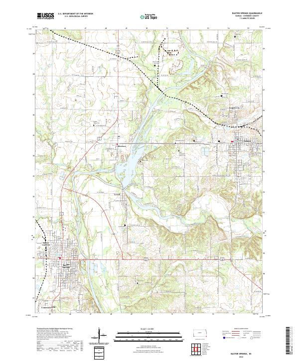
2022 Map of Baxter Springs
USGS Topo · Published 2022About this map
Spring River and Shoal Creek dominate the landscape of the Tri-State mining region as it appeared in the early 21st century. The map centers on the confluence of these waterways near Riverton, revealing a dense network of early-to-mid 20th-century transportation routes including the legendary Old US Hwy 66. To the west, Baxter Springs and its northern extension Baxter Junction represent an area rich in frontier and Civil War history, while Galena and Empire City to the east highlight the cluster of settlements that grew around the local lead and zinc mining booms.
Find a feature on this map
58 named features on this map. Tap any name to fly to it.
Don’t see what you’re looking for? This feature index may not catch every label — zoom into the map to look around manually.
Map Details
Editions of this 2022 Baxter Springs Map
This is the sole edition of this map. No revisions or reprints were ever made.
Other maps of this area

1886 · Joplin
USGS Topo · 1:125,000

1894 · Joplin
USGS Topo · 1:125,000

1907 · Wyandotte
USGS Topo · 1:125,000

1909 · Wyandotte
USGS Topo · 1:125,000

1918 · Columbus
USGS Topo · 1:62,500

1947 · Joplin
USGS Topo · 1:250,000

1949 · Joplin
USGS Topo · 1:250,000

1949 · Racine
USGS Topo · 1:24,000

1950 · Racine
USGS Topo · 1:24,000

1954 · Tulsa
USGS Topo · 1:250,000