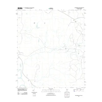
2012 Map of Baxterville SW
USGS Topo · Published 2012About this map
The Baxterville Oil and Gas Field dominates the industrial landscape of this Lamar County region, where heavy infrastructure meets the drainages of the Pearl River. This area is characterized by a network of rural routes named for local families, such as Will Alexander Rd and Nancy Magee Ln, which weave through a terrain of distinct rises like Stony Point Hill and Red Hill.
Find a feature on this map
51 named features on this map. Tap any name to fly to it.
Don’t see what you’re looking for? This feature index may not catch every label — zoom into the map to look around manually.
Map Details
Editions of this 2012 Baxterville SW Map
This is the sole edition of this map. No revisions or reprints were ever made.
Other maps of this area

1949 · Angie
USGS Topo · 1:31,680

1953 · Hattiesburg
USGS Topo · 1:250,000

1953 · Mobile
USGS Topo · 1:250,000

1957 · Mobile
USGS Topo · 1:250,000

1958 · Hattiesburg
USGS Topo · 1:250,000

1959 · Bogalusa
USGS Topo · 1:62,500

1959 · Poplarville
USGS Topo · 1:62,500

1960 · Mobile
USGS Topo · 1:250,000

1963 · Mobile
USGS Topo · 1:250,000

1965 · Mobile
USGS Topo · 1:250,000