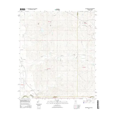
2015 Map of Baxterville SW
USGS Topo · Published 2015About this map
The Pearl River forms the southwestern boundary of this area, marking the divide between Mississippi and Louisiana. This 2015 survey shows a landscape of timbered hills and creek bottoms where Lamar, Marion, and Pearl River counties meet. The settlement of Rouse and the high ground at Hub Hill anchor the northeastern corner, connected by a network of rural roads including Dewey Smith Rd and Sun Oil Rd.
Find a feature on this map
52 named features on this map. Tap any name to fly to it.
Don’t see what you’re looking for? This feature index may not catch every label — zoom into the map to look around manually.
Map Details
Editions of this 2015 Baxterville SW Map
This is the sole edition of this map. No revisions or reprints were ever made.
Other maps of this area

1949 · Angie
USGS Topo · 1:31,680

1953 · Hattiesburg
USGS Topo · 1:250,000

1953 · Mobile
USGS Topo · 1:250,000

1957 · Mobile
USGS Topo · 1:250,000

1958 · Hattiesburg
USGS Topo · 1:250,000

1959 · Bogalusa
USGS Topo · 1:62,500

1959 · Poplarville
USGS Topo · 1:62,500

1960 · Mobile
USGS Topo · 1:250,000

1963 · Mobile
USGS Topo · 1:250,000

1965 · Mobile
USGS Topo · 1:250,000