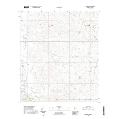
2020 Map of Baxterville SW
USGS Topo · Published 2020About this map
Rose Hill Baptist Church Cem sits near the western edge of this landscape, marking a point of community and genealogy where the borders of Lamar and Marion County meet the Louisiana state line. The terrain is defined by a series of prominent rises including Stony Point Hill, Red Hill, and Hub Hill in the north, while the southern reaches are drained by Twomile Cr. This modern survey illustrates a network of rural roads such as Jefftown Rd and Mail Route Rd that connect isolated cemeteries and family landmarks. Researchers can trace the drainage of Clear Creek and Crooked Cr as they wind through the timberlands, providing a clear record of the area's contemporary geography and property divisions.
Find a feature on this map
52 named features on this map. Tap any name to fly to it.
Don’t see what you’re looking for? This feature index may not catch every label — zoom into the map to look around manually.
Map Details
Editions of this 2020 Baxterville SW Map
This is the sole edition of this map. No revisions or reprints were ever made.
Other maps of this area

1949 · Angie
USGS Topo · 1:31,680

1953 · Hattiesburg
USGS Topo · 1:250,000

1953 · Mobile
USGS Topo · 1:250,000

1957 · Mobile
USGS Topo · 1:250,000

1958 · Hattiesburg
USGS Topo · 1:250,000

1959 · Bogalusa
USGS Topo · 1:62,500

1959 · Poplarville
USGS Topo · 1:62,500

1960 · Mobile
USGS Topo · 1:250,000

1963 · Mobile
USGS Topo · 1:250,000

1965 · Mobile
USGS Topo · 1:250,000