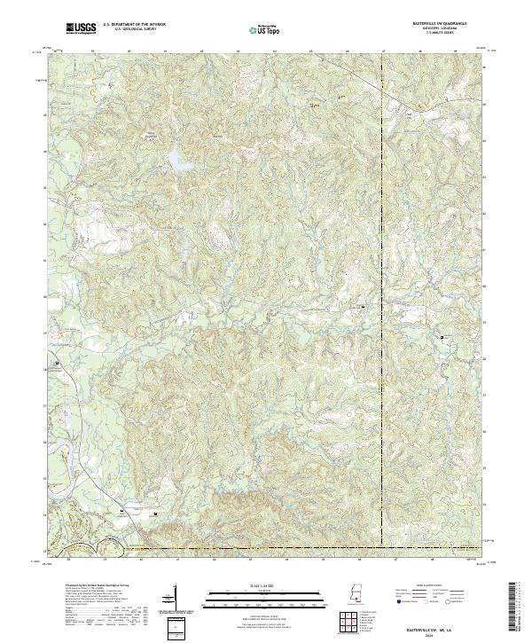
2024 Map of Baxterville SW
USGS Topo · Published 2024About this map
The confluence of the Pearl River and its varied tributaries, including Twomile Creek and Crooked Creek, defines the borderlands of Marion County and Washington Parish. This landscape is characterized by prominent elevations such as Stony Point Hill, Red Hill, and Hub Hill, which rise above the creek valleys and local drainage networks. The map documents a scattered rural settlement pattern along an intricate system of local roads, including Clear Creek Church Rd and Sun Oil Rd, reflecting the region's agricultural and resource-based development.
Find a feature on this map
53 named features on this map. Tap any name to fly to it.
Don’t see what you’re looking for? This feature index may not catch every label — zoom into the map to look around manually.
Map Details
Editions of this 2024 Baxterville SW Map
This is the sole edition of this map. No revisions or reprints were ever made.
Other maps of this area

1949 · Angie
USGS Topo · 1:31,680

1953 · Hattiesburg
USGS Topo · 1:250,000

1953 · Mobile
USGS Topo · 1:250,000

1957 · Mobile
USGS Topo · 1:250,000

1958 · Hattiesburg
USGS Topo · 1:250,000

1959 · Bogalusa
USGS Topo · 1:62,500

1959 · Poplarville
USGS Topo · 1:62,500

1960 · Mobile
USGS Topo · 1:250,000

1963 · Mobile
USGS Topo · 1:250,000

1965 · Mobile
USGS Topo · 1:250,000