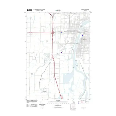
2011 Map of Bay City
USGS Topo · Published 2011About this map
The Saginaw River dominates this landscape, carving through the heart of Bay City and West Bay City as it flows toward the bay. The river's industrial and maritime character is evident in features like the Saginaw Valley Naval Ship and the James Clements Municipal Airport situated along the eastern bank. The river itself is bifurcated by substantial landmasses including Middle Ground, Skull Island, and Stony Island, which illustrate the complex hydrology of the river mouth.
Find a feature on this map
99 named features on this map. Tap any name to fly to it.
Don’t see what you’re looking for? This feature index may not catch every label — zoom into the map to look around manually.
Map Details
Editions of this 2011 Bay City Map
This is the sole edition of this map. No revisions or reprints were ever made.
Other maps of this area

1916 · Bay City
USGS Topo · 1:62,500

1917 · St. Charles
USGS Topo · 1:62,500

1919 · Bay City
USGS Topo · 1:62,500

1919 · Saginaw
USGS Topo · 1:62,500

1941 · Saginaw
USGS Topo · 1:62,500

1943 · Bay City
USGS Topo · 1:62,500

1943 · Saginaw
USGS Topo · 1:62,500

1943 · St. Charles
USGS Topo · 1:62,500

1954 · Midland
USGS Topo · 1:250,000

1954 · Flint
USGS Topo · 1:250,000