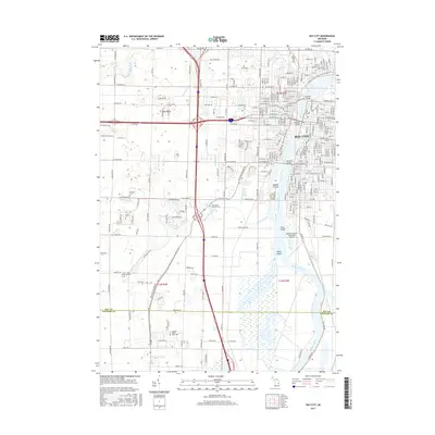
2017 Map of Bay City
USGS Topo · Published 2017About this map
Bay City and its industrial and academic surroundings define this 2017 study of the Saginaw River valley. The urban center is characterized by a dense grid of streets and bridges crossing the river to Middle Ground, while the southern reaches transition into more specialized landscapes. Here, the campus of Saginaw Valley State Univ and Delta Coll sit amidst a network of drainage systems like Squaconning Creek and the Kochville and Frankenlust Drain. The region's history is preserved in numerous burial grounds, including Oak Ridge Cem and several Lutheran cemeteries. Along the river, prominent landforms like Skull Island and Stony Island appear alongside the James Clements Municipal Airport, illustrating the mixture of aviation infrastructure and the natural marshy wetlands that border the Bay Co Saginaw Co line.
Find a feature on this map
179 named features on this map. Tap any name to fly to it.
Don’t see what you’re looking for? This feature index may not catch every label — zoom into the map to look around manually.
Map Details
Editions of this 2017 Bay City Map
This is the sole edition of this map. No revisions or reprints were ever made.
Other maps of this area

1916 · Bay City
USGS Topo · 1:62,500

1917 · St. Charles
USGS Topo · 1:62,500

1919 · Bay City
USGS Topo · 1:62,500

1919 · Saginaw
USGS Topo · 1:62,500

1941 · Saginaw
USGS Topo · 1:62,500

1943 · Bay City
USGS Topo · 1:62,500

1943 · Saginaw
USGS Topo · 1:62,500

1943 · St. Charles
USGS Topo · 1:62,500

1954 · Midland
USGS Topo · 1:250,000

1954 · Flint
USGS Topo · 1:250,000