Loading...
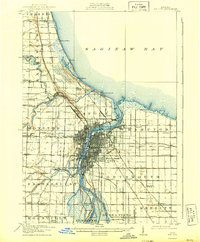
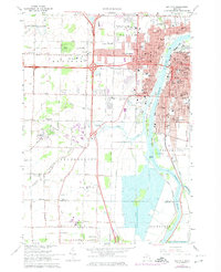
Loading map...1919 Map of Bay City
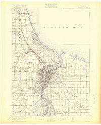
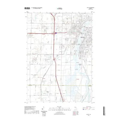
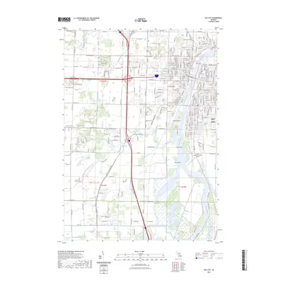
USGS Topo · Published 1943About this map
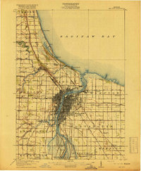
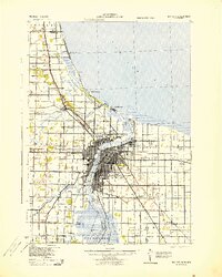
Bay City serves as the industrial and logistical heart of this region during the early twentieth century, situated where the Saginaw River meets the Saginaw Bay. The urban grid is dense with commerce, supported by an extensive network of railroads including the Michigan Central, Pere Marquette, and Detroit and Mackinac. This heavy rail presence, alongside the Electric line, underscores the city's role as a major hub for transit and trade before the dominance of modern highways.
Find a feature on this map
60 named features on this map. Tap any name to fly to it.
Don’t see what you’re looking for? This feature index may not catch every label — zoom into the map to look around manually.
Map Details
Date Portrayed1919
Date Published1943
PublisherU.S. Geological Survey
Map TypeTopographic
Scale1:62,500
Physical Dimensions16.5 x 20 inches
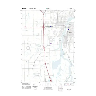
Editions of this 1919 Bay City Map
2 editions found
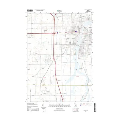
Historical Maps of Bay City Through Time
10 maps found

Featured Locations
- Bay City, MI
- Essexville, MI
- Linwood, Fraser Township
- Kochville, Kochville Township
- Kawkawlin, Monitor Township
Source Details
SourceU.S. Geological Survey
CopyrightPublic Domain