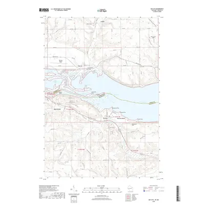
2018 Map of Bay City
USGS Topo · Published 2018About this map
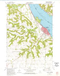
Lake Pepin and the Mississippi River dominate this landscape on the border of Wisconsin and Minnesota, where the water bifurcates into the Wisconsin Channel and Catharine Pass. The topography shifts from the flat river valley and islands like Baldwin Island to the steep elevations of Rattlesnake Bluff and Jackson Bluff. High plateaus like Warrentown Ridge overlook the riverside settlements of Bay City and Wacouta, which are connected by the historic corridor of the Great River Rd.
Find a feature on this map
71 named features on this map. Tap any name to fly to it.
Don’t see what you’re looking for? This feature index may not catch every label — zoom into the map to look around manually.
Map Details
Editions of this 2018 Bay City Map
This is the sole edition of this map. No revisions or reprints were ever made.
Other maps of this area
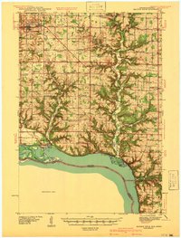
1940 · Maiden Rock
USGS Topo · 1:62,500
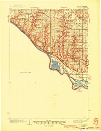
1944 · Red Wing
USGS Topo · 1:62,500
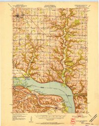
1950 · Maiden Rock
USGS Topo · 1:62,500
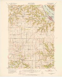
1951 · Lake City
USGS Topo · 1:62,500
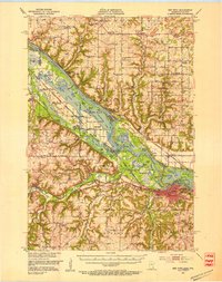
1952 · Red Wing
USGS Topo · 1:62,500

1953 · Saint Paul
USGS Topo · 1:250,000

1959 · Saint Paul
USGS Topo · 1:250,000
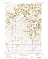
1968 · Goodhue East
USGS Topo · 1:24,000
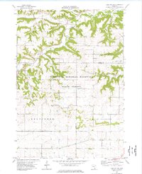
1974 · Lake City NW
USGS Topo · 1:24,000
1974 · Lake City
USGS Topo · 1:24,000