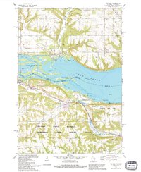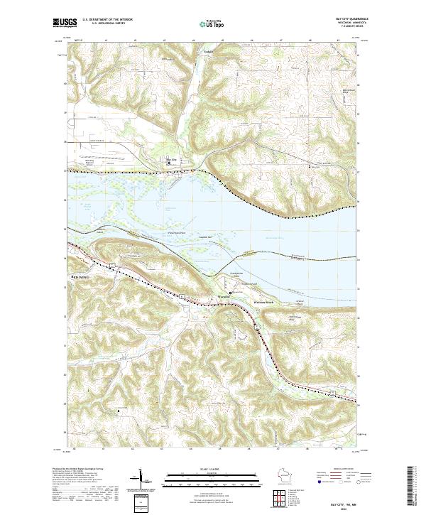
2022 Map of Bay City
USGS Topo · Published 2022About this map
The Mississippi River carves a dramatic boundary through this region, separating the bluffs of Wisconsin from the shores of Minnesota. Along the northern bank, Bay City serves as a focal point near the Red Wing Regional Airport, while the smaller settlement of Esdaile sits further inland near the winding Isabelle Cr. The landscape is defined by its deep coulees and prominent high points, including Jackson Bluff and Warrentown Ridge, which overlook the river's complex network of channels and islands like Baldwin Island.
Find a feature on this map
87 named features on this map. Tap any name to fly to it.
Don’t see what you’re looking for? This feature index may not catch every label — zoom into the map to look around manually.
Map Details
Editions of this 2022 Bay City Map
This is the sole edition of this map. No revisions or reprints were ever made.