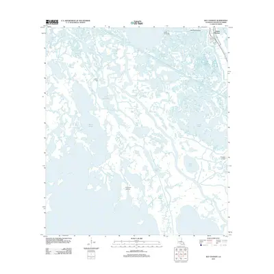
2012 Map of Bay Courant
USGS Topo · Published 2012About this map
Golden Meadow sits at the northeastern edge of this coastal survey, where the linear development of the town follows the banks of Bayou Lafourche. This landscape is defined by the transition from the inhabited ridge along the bayou to the expansive wetlands and brackish waters of the Gulf coast. Extensive oil and gas infrastructure is a primary feature of the region, evidenced by the Golden Meadow Oil and Gas Field and the Lake Raccourci Oil and Gas Field.
Find a feature on this map
21 named features on this map. Tap any name to fly to it.
Don’t see what you’re looking for? This feature index may not catch every label — zoom into the map to look around manually.
Map Details
Editions of this 2012 Bay Courant Map
This is the sole edition of this map. No revisions or reprints were ever made.
Other maps of this area

1892 · Cheniere Caminada
USGS Topo · 1:62,500

1892 · Creole
USGS Topo · 1:62,500

1894 · Timbalier
USGS Topo · 1:62,500

1894 · Lake Felicity
USGS Topo · 1:62,500

1935 · Viguerie Canal
USGS Topo · 1:31,680

1935 · Bay Courant
USGS Topo · 1:31,680

1935 · Golden Meadow
USGS Topo · 1:31,680

1935 · Pelican Pass
USGS Topo · 1:31,680

1935 · Mink Bayou
USGS Topo · 1:31,680

1935 · Leeville
USGS Topo · 1:31,680