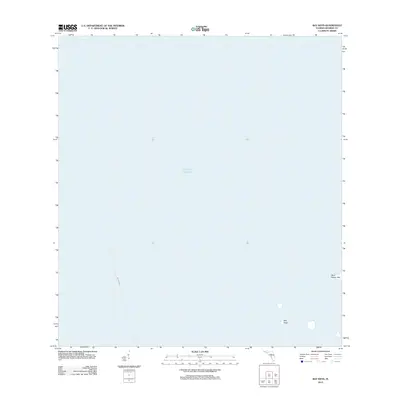
2012 Map of Bay Keys
USGS Topo · Published 2012About this map
The Gulf of Mexico dominates this coastal survey, where the remote island geography of Monroe County is defined by the Bay Keys and West Harbor Key. This 2012 edition documents a largely aquatic landscape, emphasizing the navigational routes through these southern waters. A significant transit marker on the map is the designated Ferry Crossing, indicating a maritime connection through the open sea that predates or bypasses traditional land routes. The map provides a clear look at the isolation of these small landmasses, offering researchers a precise record of the shoreline and maritime boundaries before the impacts of shifting tides and environmental changes in the Florida Keys.
Find a feature on this map
4 named features on this map. Tap any name to fly to it.
Don’t see what you’re looking for? This feature index may not catch every label — zoom into the map to look around manually.
Map Details
Editions of this 2012 Bay Keys Map
This is the sole edition of this map. No revisions or reprints were ever made.
Other maps of this area

1921 · Sugar Loaf Key
USGS Topo · 1:62,500

1921 · Key West
USGS Topo · 1:62,500

1943 · Bay Keys
USGS Topo · 1:24,000

1943 · Boca Chica
USGS Topo · 1:24,000

1943 · Key West
USGS Topo · 1:24,000

1943 · Snipe Keys
USGS Topo · 1:24,000

1943 · Cottrell Key
USGS Topo · 1:24,000

1962 · Key West
USGS Topo · 1:24,000

1963 · Cottrell Key
USGS Topo · 1:24,000

1971 · Key West
USGS Topo · 1:24,000