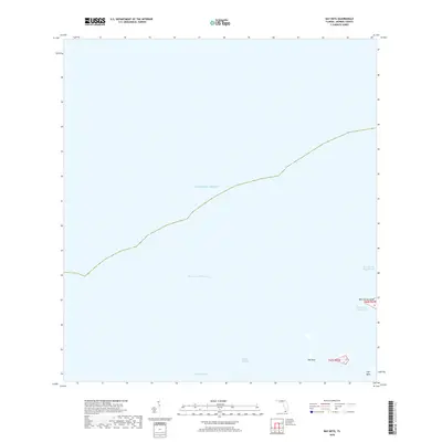
2018 Map of Bay Keys
USGS Topo · Published 2018About this map
The Bay Keys and West Harbor Keys are part of a secluded island and waterway network in the Florida Keys as it appeared in 2018. The landscape is defined by shallow marine passages, including the Bluefish Channel and Calda Channel, which provide vital navigation through the flats north of the primary island chain. To the north, the Atlantic Ocean dominates the sheet, while the presence of the Intracoastal Waterway marks the established maritime route used for transit along the coast. Smaller terrain features such as Cayo Agua sit near the southern edge of the quadrangle, illustrating the low-lying, tidal nature of these landmasses. This survey captures a moment in the modern era before shifting coastal dynamics might alter these sensitive environments, documenting the exact layout of channels like the East Harbor Key Channel and West Harbor Key Channel.
Find a feature on this map
11 named features on this map. Tap any name to fly to it.
Don’t see what you’re looking for? This feature index may not catch every label — zoom into the map to look around manually.
Map Details
Editions of this 2018 Bay Keys Map
This is the sole edition of this map. No revisions or reprints were ever made.
Other maps of this area

1921 · Sugar Loaf Key
USGS Topo · 1:62,500

1921 · Key West
USGS Topo · 1:62,500

1943 · Bay Keys
USGS Topo · 1:24,000

1943 · Boca Chica
USGS Topo · 1:24,000

1943 · Key West
USGS Topo · 1:24,000

1943 · Snipe Keys
USGS Topo · 1:24,000

1943 · Cottrell Key
USGS Topo · 1:24,000

1962 · Key West
USGS Topo · 1:24,000

1963 · Cottrell Key
USGS Topo · 1:24,000

1971 · Key West
USGS Topo · 1:24,000