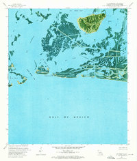
1973 Map of Bay Ronquille
USGS Topo · Published 1976About this map
Quatre Bayoux Pass serves as a critical break in the barrier islands, connecting the inner marshes of Plaquemines Parish to the Gulf of Mexico. This early 1970s orthophotomap provides a rare visual of the fragile marshland before significant coastal erosion altered the coastline. The landscape is defined by the industrial infrastructure of the era, with an Elevated Pipeline and numerous Platforms dotting the waters of Lake Grande Ecaille and Bay La Mer. These features, alongside the Ronquille Canal and various pipelines, reveal the extensive modification of the wetlands for resource extraction. Landforms like Point Cheniere Ronquille and the Grand Terre Islands provide a baseline for studying the shifting sediment and retreating shorelines of this tidal environment.
Find a feature on this map
25 named features on this map. Tap any name to fly to it.
Don’t see what you’re looking for? This feature index may not catch every label — zoom into the map to look around manually.
Map Details
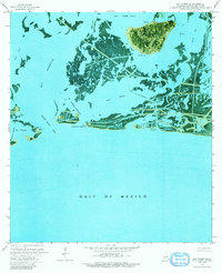
Editions of this 1973 Bay Ronquille Map
2 editions found
Other maps of this area

1892 · Quarantine
USGS Topo · 1:62,500

1893 · Fort Livingston
USGS Topo · 1:62,500

1935 · Port Sulphur
USGS Topo · 1:31,680

1935 · Bastian Bay
USGS Topo · 1:31,680

1935 · Bay Ronquille
USGS Topo · 1:31,680

1935 · Wilkinson Bay
USGS Topo · 1:31,680

1941 · Empire
USGS Topo · 1:62,500

1944 · Empire
USGS Topo · 1:62,500

1947 · Bay Ronquille
USGS Topo · 1:31,680
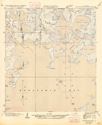
1947 · Wilkinson Bay
USGS Topo · 1:31,680